BETHLEHEM, Pa. — A flash flood warning was extended in part of the Lehigh Valley until 9:45 p.m. Sunday as severe storms and torrential rain moved through the region.


The extended warning was for portions of Berks and Lehigh counties.
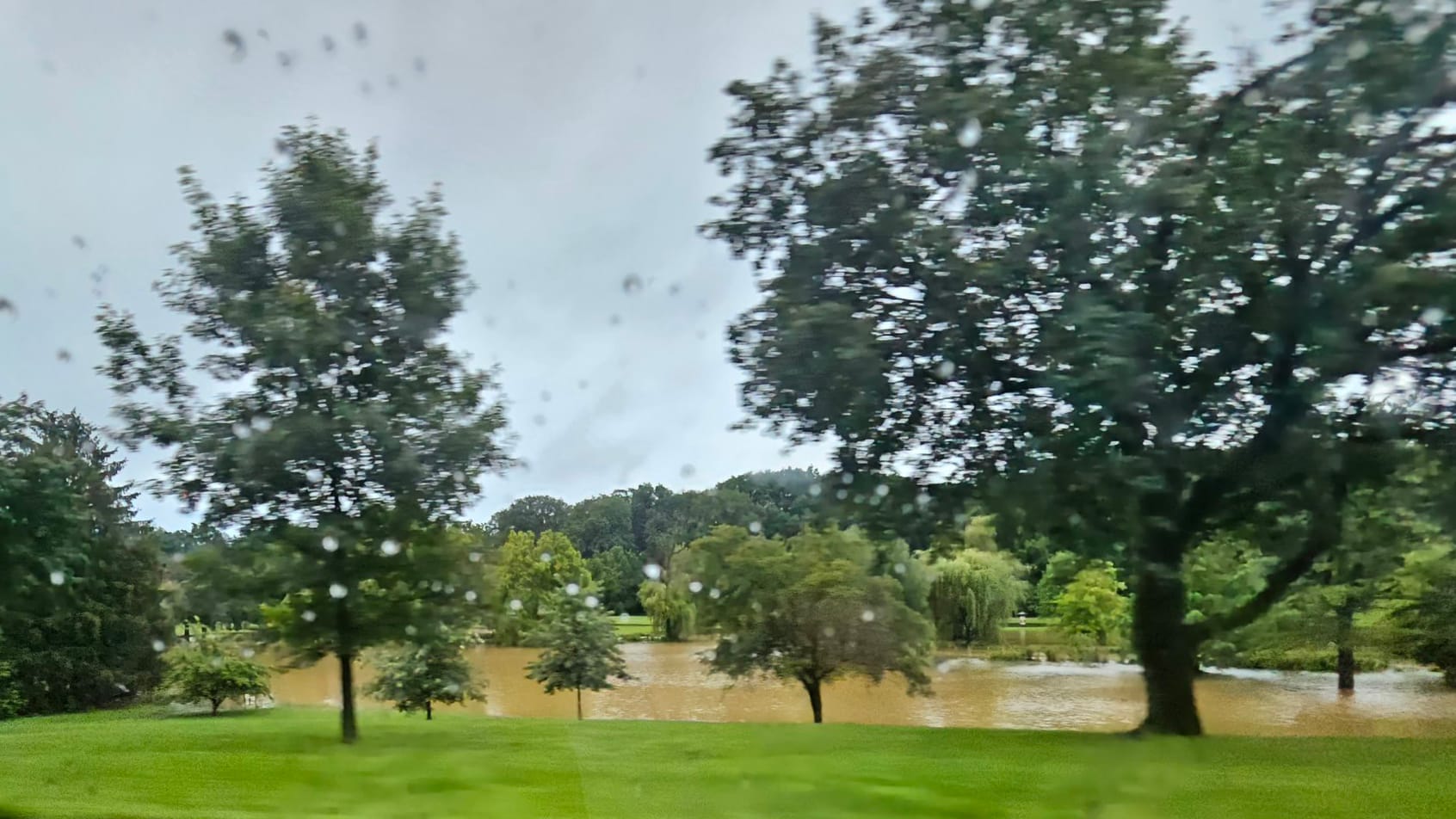
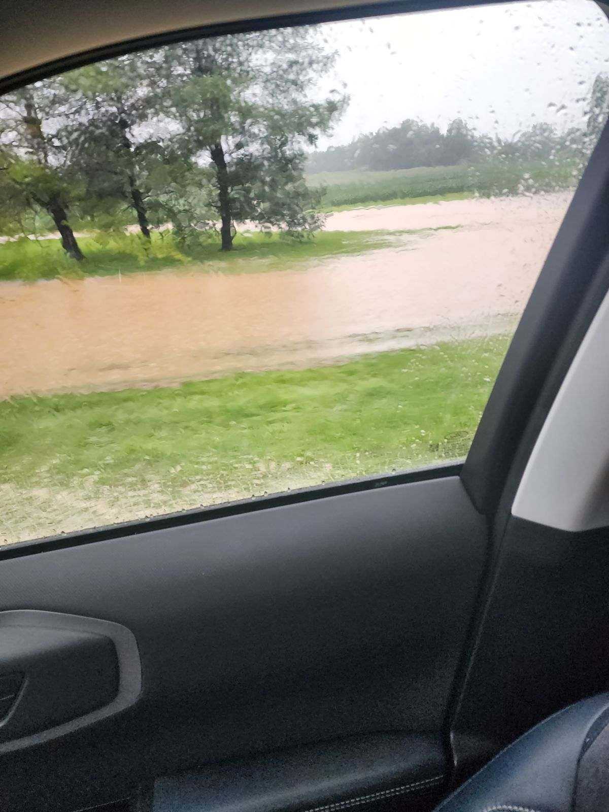
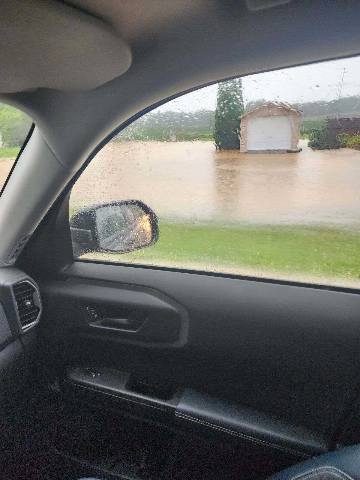
Berks County recorded the highest rainfall totals locally, with storm total accumulations nearing 7 inches, according to the National Weather Service.
- Parts of the Lehigh Valley are under a flash flood warning until 9:45 p.m. Sunday
- Berks County recorded the highest rainfall totals locally
- The American Red Cross of Greater PA sent disaster action teams to flooding impacting homes in Reading, including the Jamestown Village Apartments
Disaster Action Teams from the American Red Cross of Greater PA responded to flooding impacting homes in Reading, including residents of the Jamestown Village Apartments at 300 Lackawanna Street who are displaced from their homes.
The Reading Fire Department estimated 39 people and 5 pets from 24 apartment units were affected, a news release said.
The Red Cross opened an emergency shelter at Glenside Elementary School, located at 500 Lackawanna St., with volunteers onsite to provide food, relief supplies and comfort to those in need.
Anyone in need of Red Cross assistance should call 1-800-REDCROSS (1-800-733-2767).
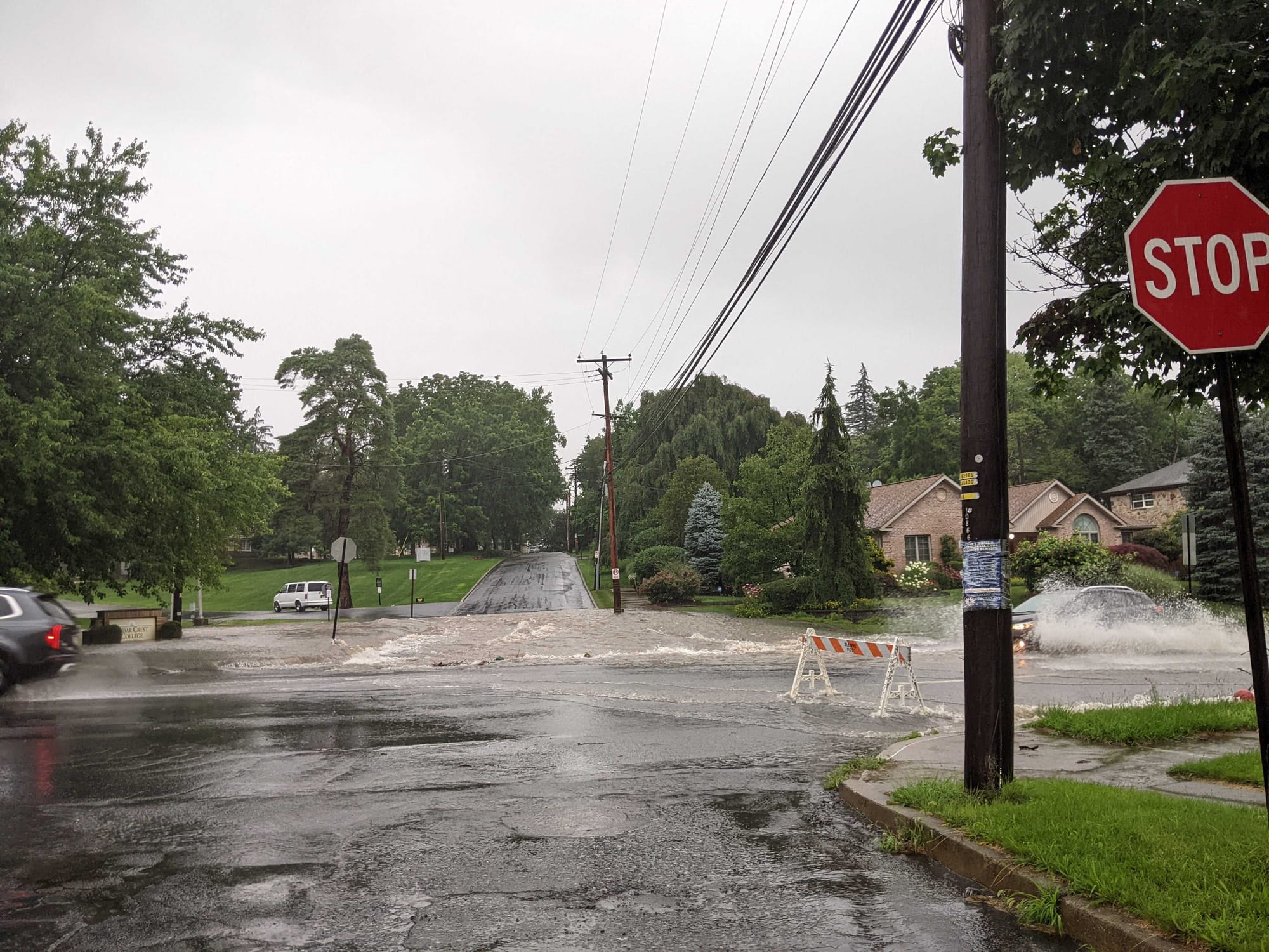
Trained weather spotters also reported water rescues in Douglass Township, and Route 222 was closed between routes 61 and 183 due to heavy flooding.
https://twitter.com/RedCrossGPA/status/1678161363397402625?s=20
Round one moved through just after noon, and a second round of heavy rain began around 3:30 p.m.
"The overall environment is quite conducive for additional heavy rainfall," an update from the Weather Prediction Center said, projecting high rainfall rates exceeding 1 inch in 20 minutes in some instances.
Some of the heaviest rainfall South of the Lehigh Valley appeared to be concentrated in Quakertown, Bucks County, where flooding on N West End Boulevard led to a water rescue captured on video.
The City of Easton rescheduled its Heritage Day fireworks, which will move to next Sunday, July 16, city officials said on social media. Easton Heritage Day was scheduled as a rain or shine event but wrapped up activities early due to the weather.
TacoFest, held at the SteelStacks, was also cancelled.
A hazardous weather outlook was in place for the Lehigh Valley all day Sunday. An advisory said "several instances of flooding are expected, with potential for unusually significant or widespread occurrences."
WATCH:
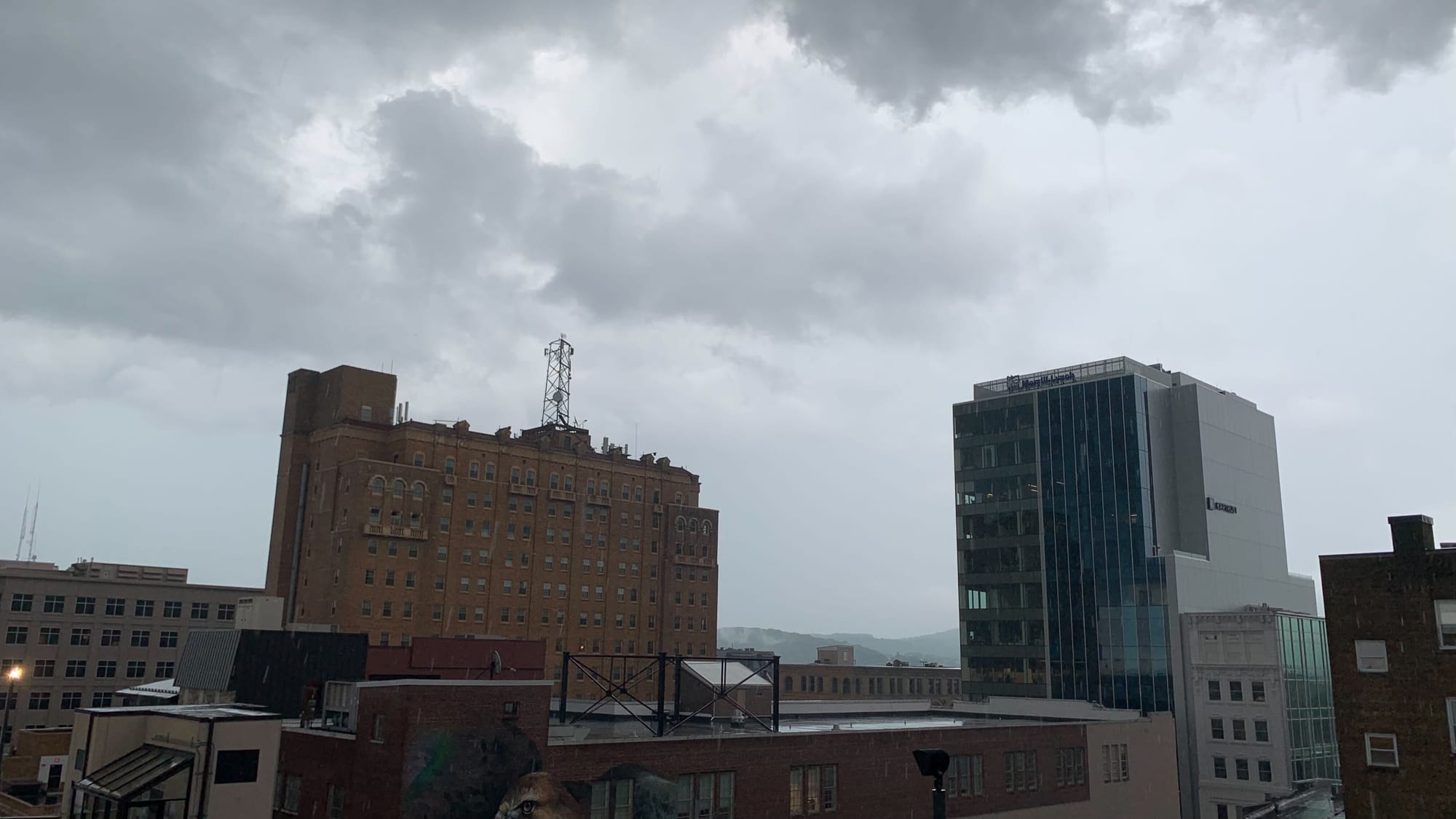
Live weather camera at SteelStacks outside of our newsroom
The deluge arrived after days of above-average temperatures, high humidity and isolated heavy rainfall.
Dean Iovino, a National Weather Service meteorologist, said heavy rain will affect the Lehigh Valley from the afternoon through the evening.
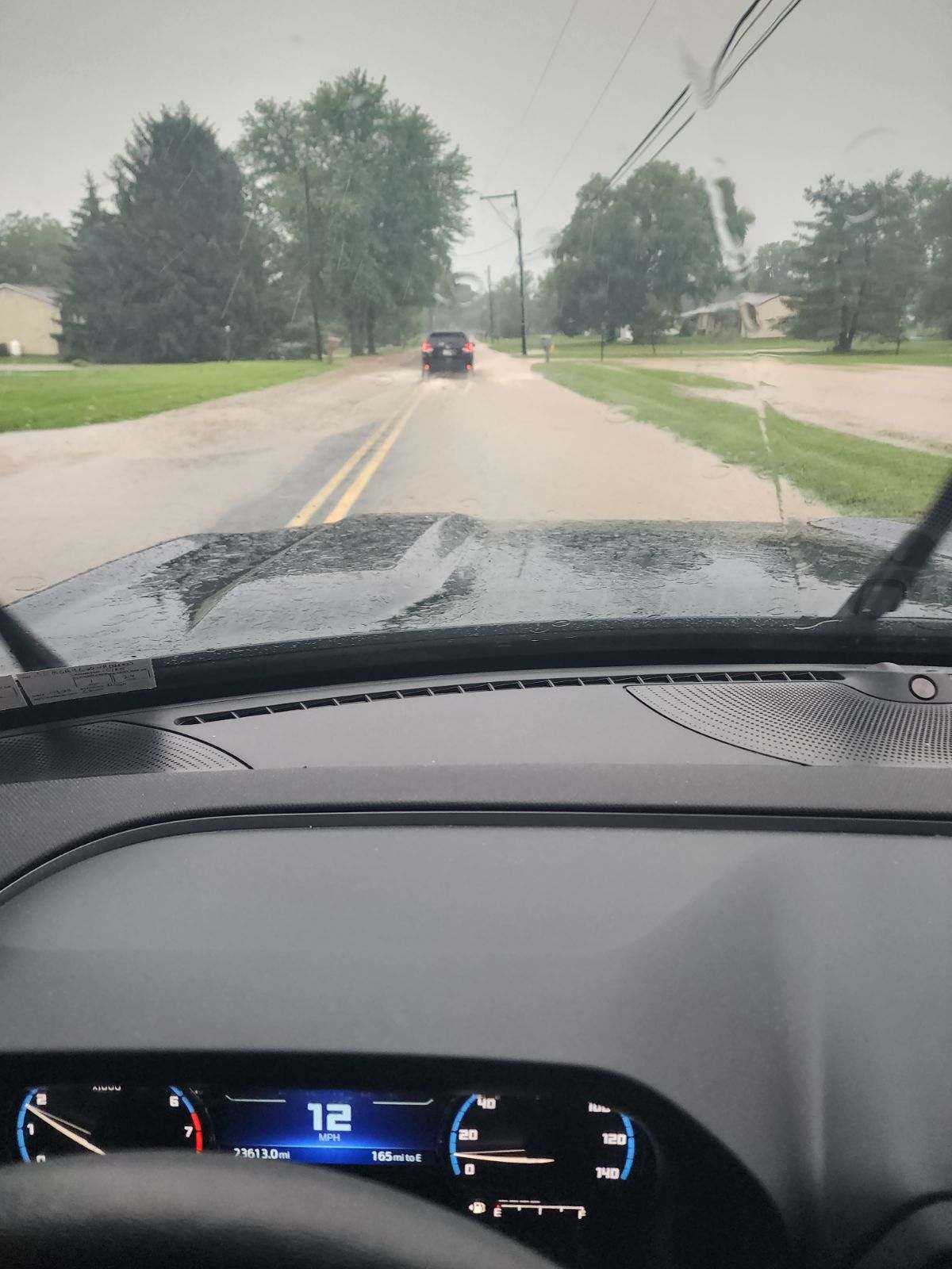
"It looks like there could be a fair amount of flooding in areas for drainage and along small streams and creeks in the area," Iovino said early Sunday.
He predicted showers might start before noon, but the heavier rain arrived in some areas even earlier than predicted. He also warned those who might be on the road.
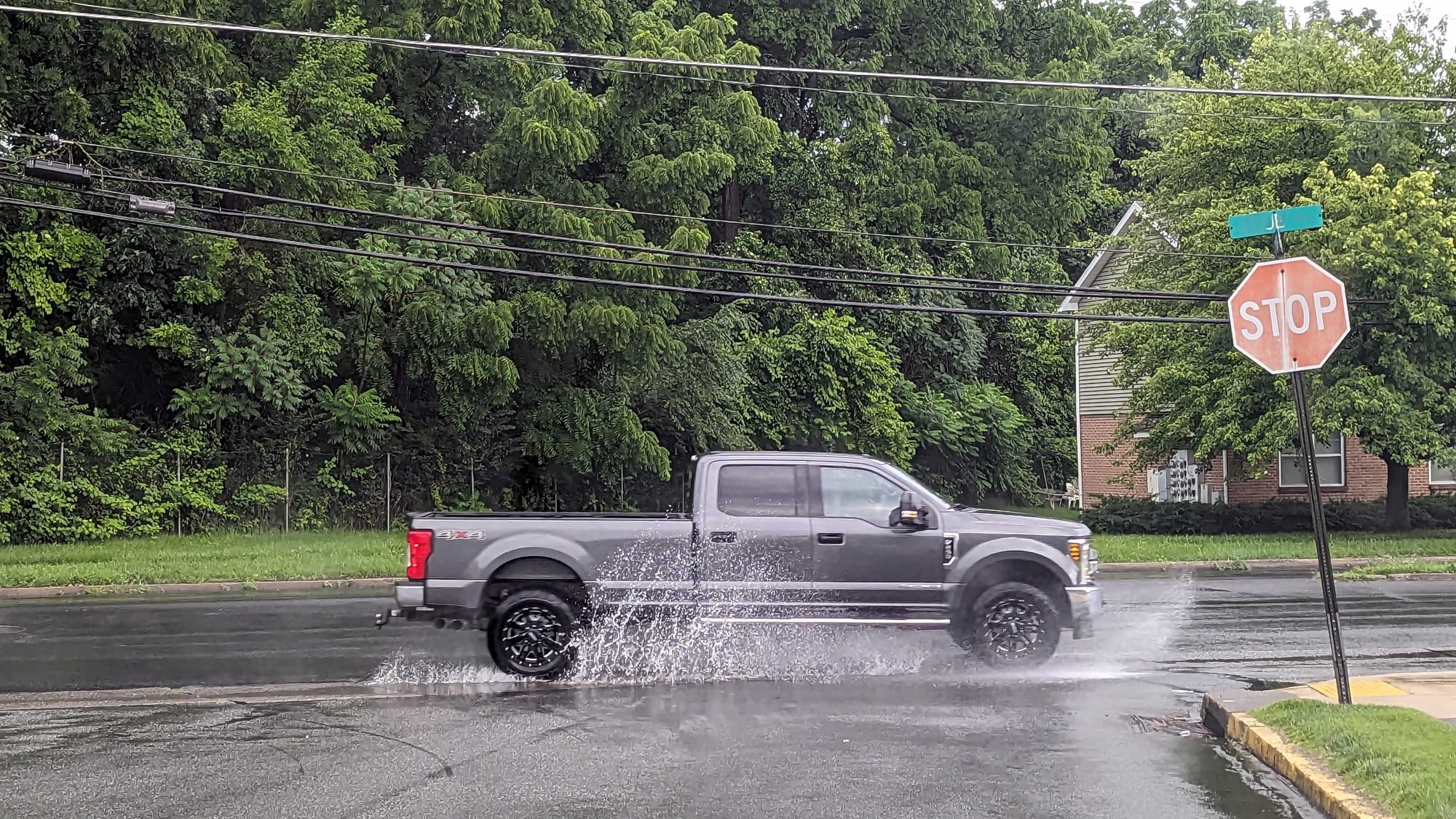
"It's gonna make driving difficult, traveling around difficult, because you'll probably encounter some standing water on roadways."
Dean Iovino, a National Weather Service meteorologist
"It's gonna make driving difficult, traveling around difficult, because you'll probably encounter some standing water on roadways," he said.
Iovino cautioned folks who live in flood-prone areas to be vigilant.
"They may want to keep an extra ear to the forecast this afternoon and monitor their location," he said, "and just make sure they stay out of harm's way."
According to the weather service, the "excessive runoff may result in flooding of rivers, creeks, streams, and other low-lying and flood-prone locations. Creeks and streams may rise out of their banks. Flooding may occur in poor drainage and urban areas."
Rain should move out of the area Sunday night. Between 11 p.m. and 1 a.m., there is a likelihood of scattered showers and thunderstorms.
The rain threats in the Lehigh Valley and surrounding areas will continue through at least midweek. However, they aren't expected to be as widespread or impactful as Sunday's storms.