
Welcome to the new home of Lehigh Valley Public Media.

If you’re looking for LehighValleyNews.com, you’re in the right place — welcome to Lehigh Valley Public Media, your source for trusted local news, newsletters, and community connection.
Local News

After the Lehigh Valley’s heaviest snowfall in three years, are you ready for more?

Less than 24 hours removed from the Lehigh Valley’s heaviest snowfall in three years, forecasters have a word of advice to offer: don’t put the shovel away just yet.

GFS Saturday snow
This graphic shows the GFS, or Global Forecast System, tracking snow into the region on Saturday.
Sponsorship


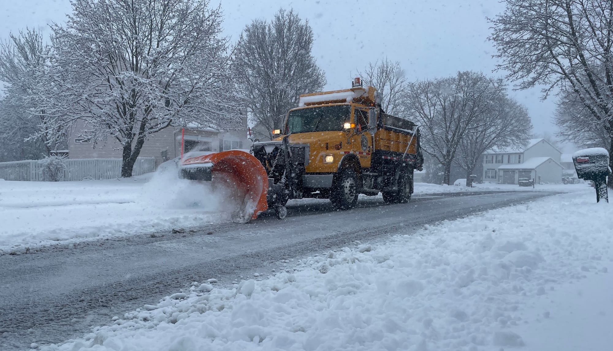
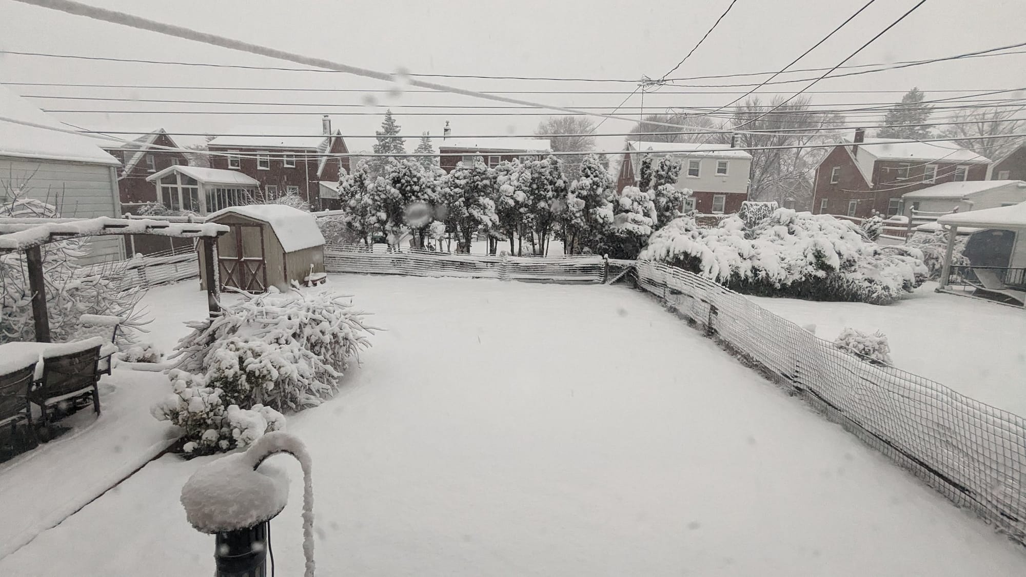
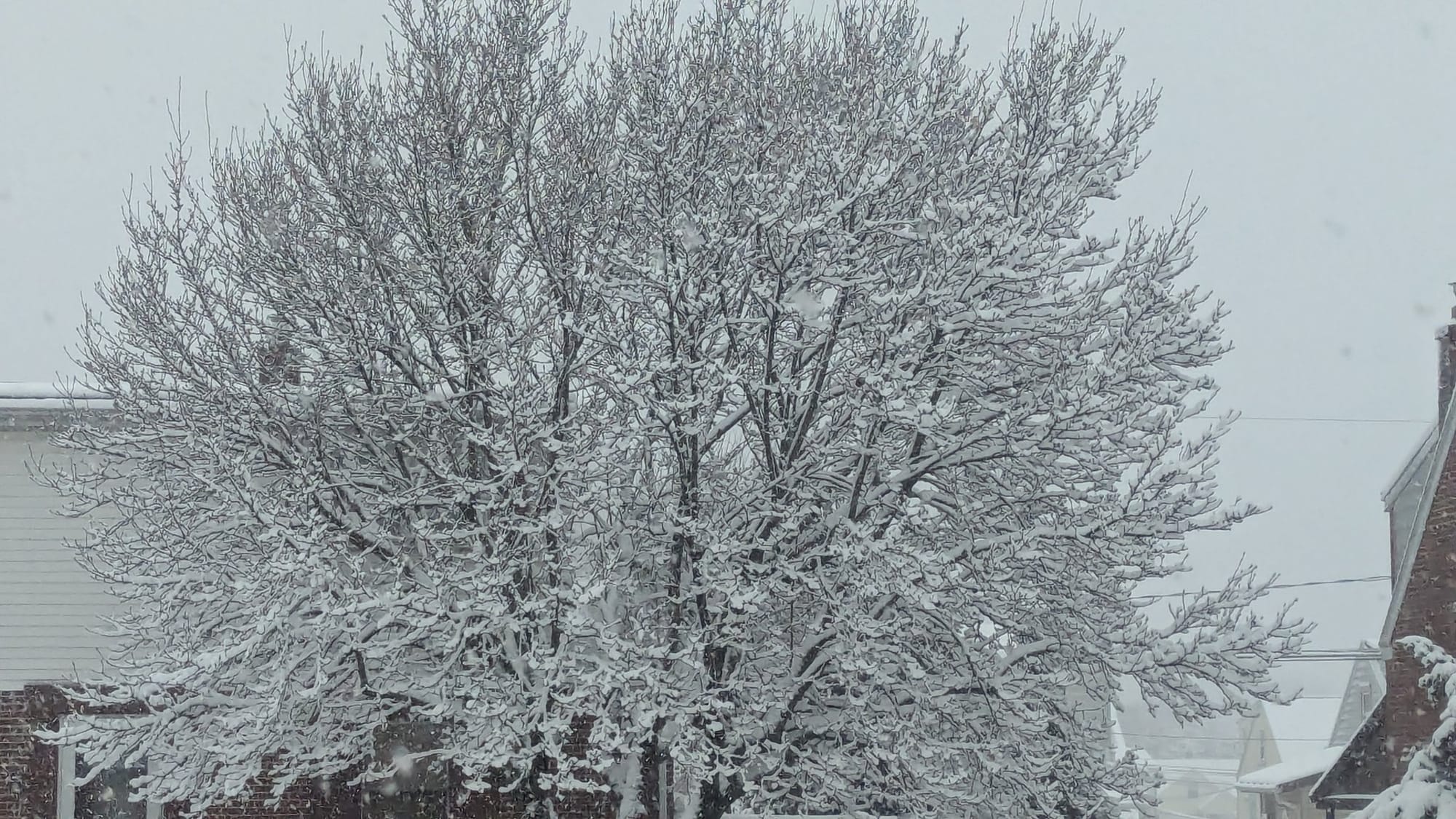
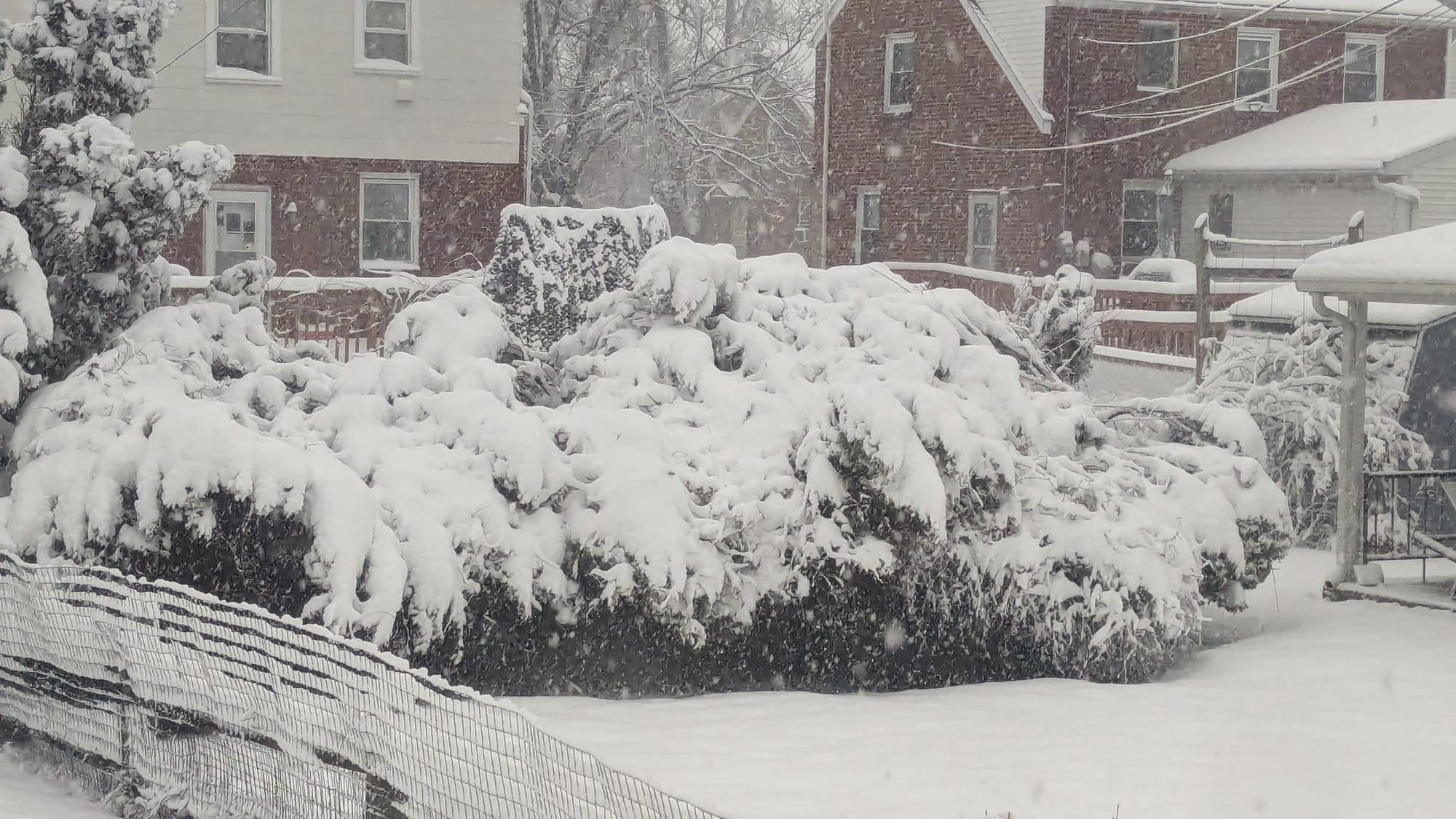
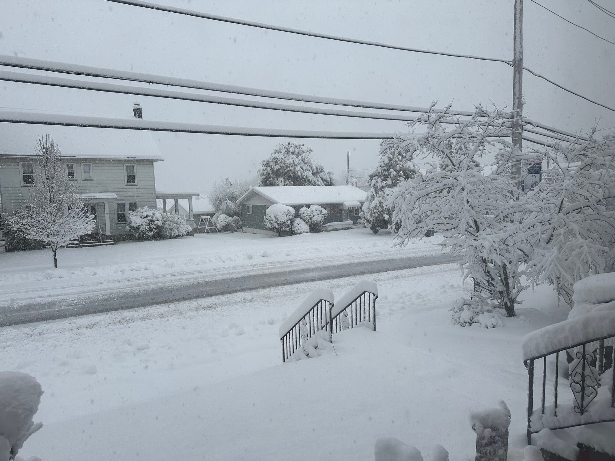
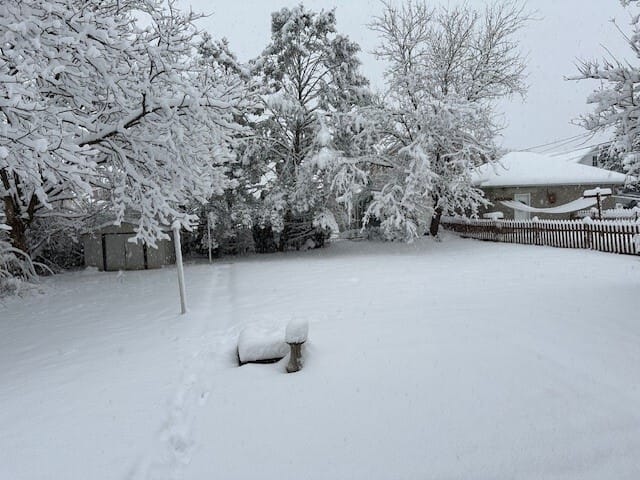
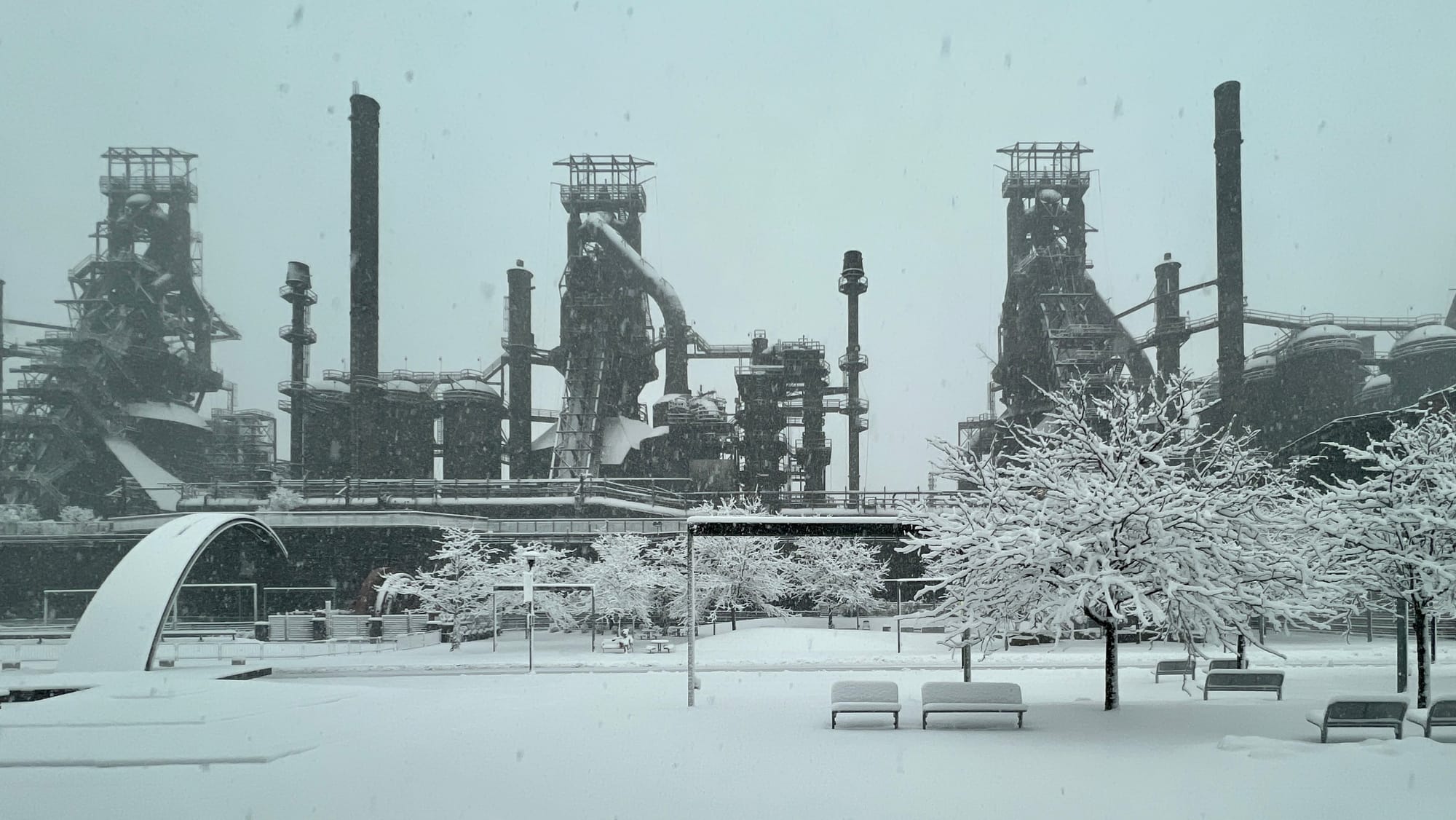
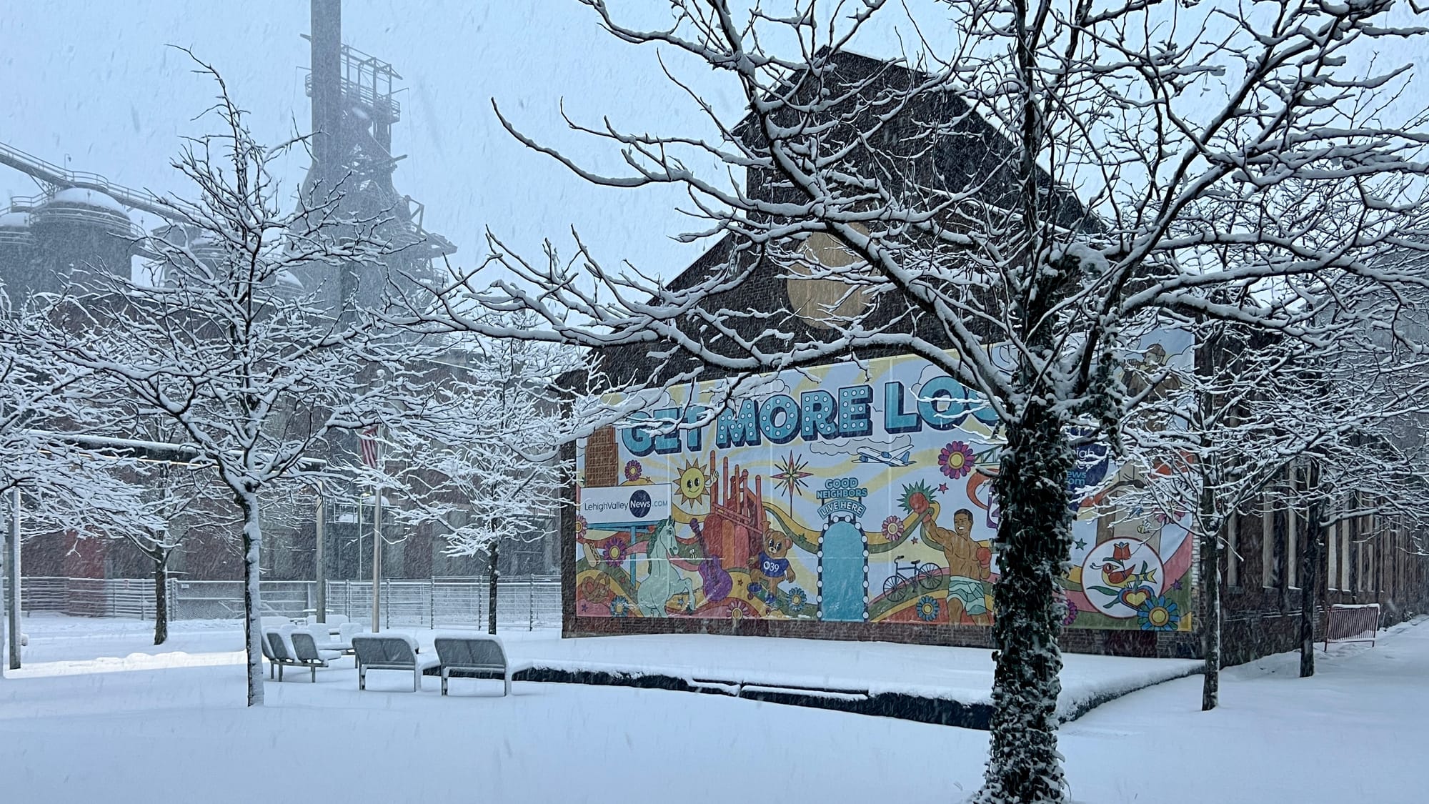
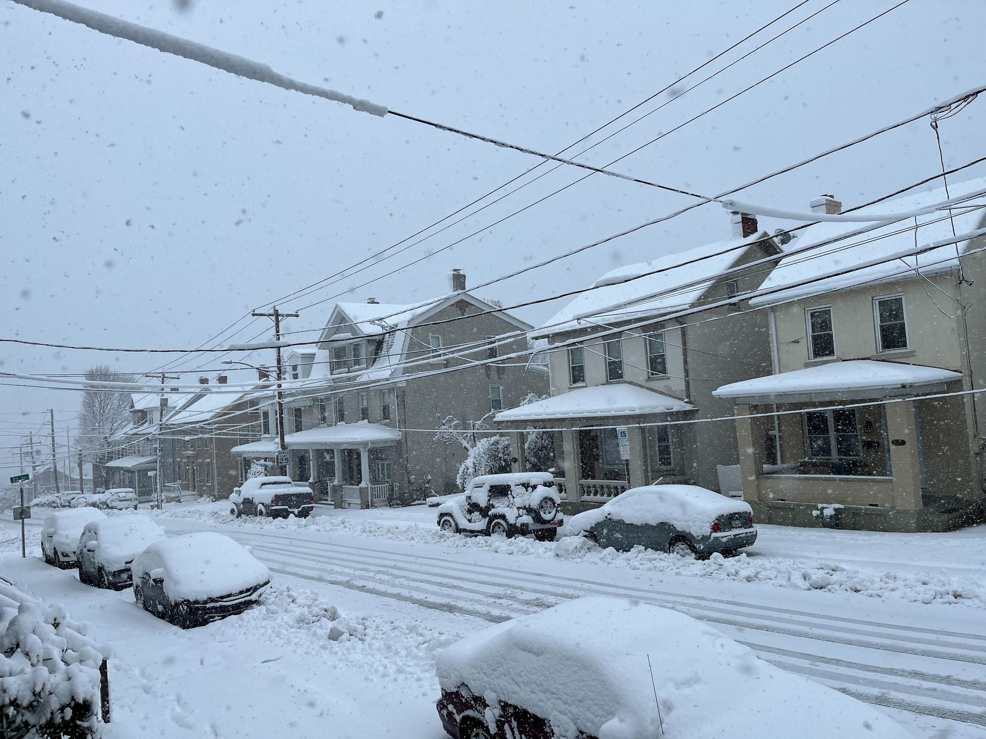
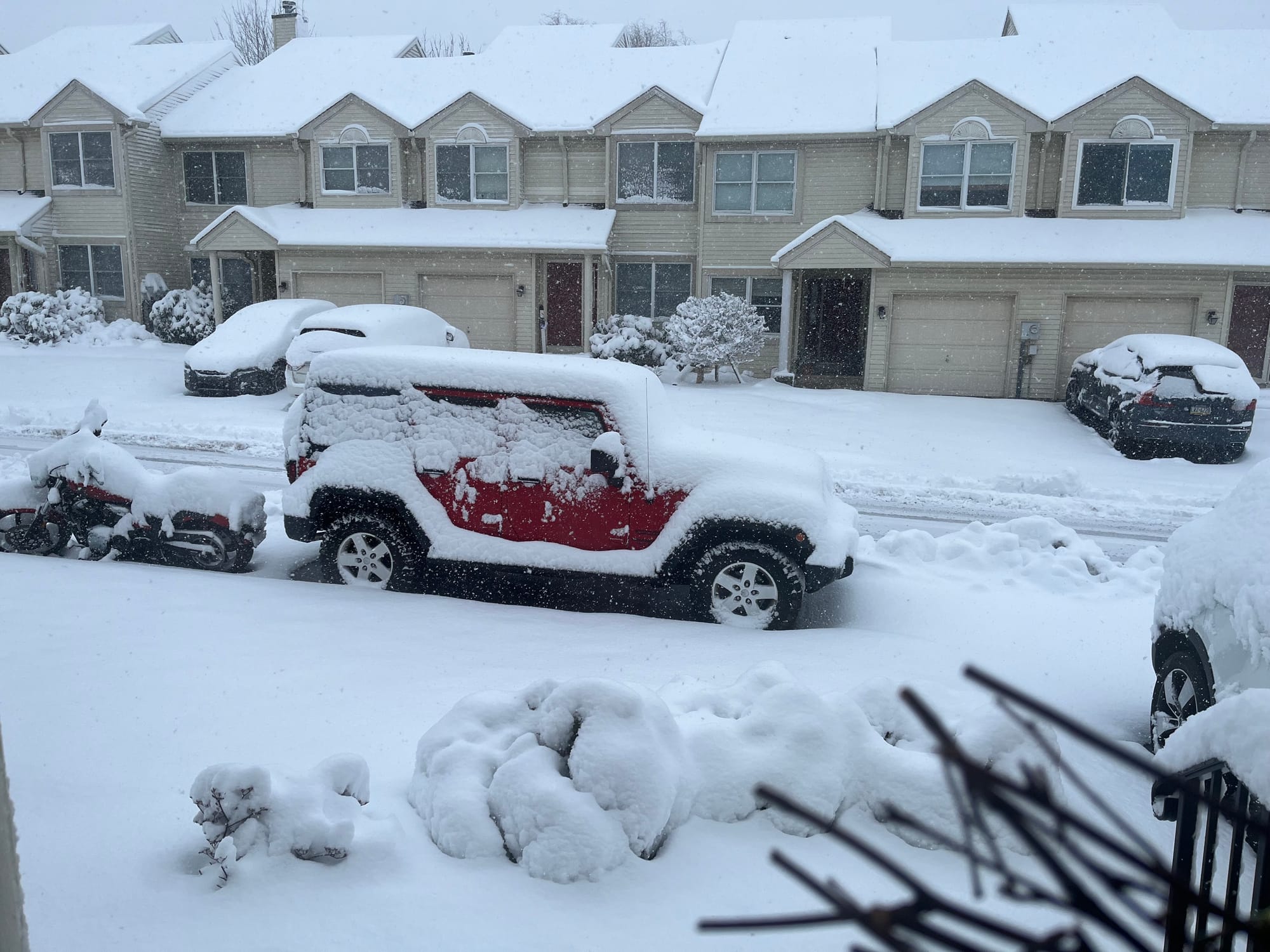
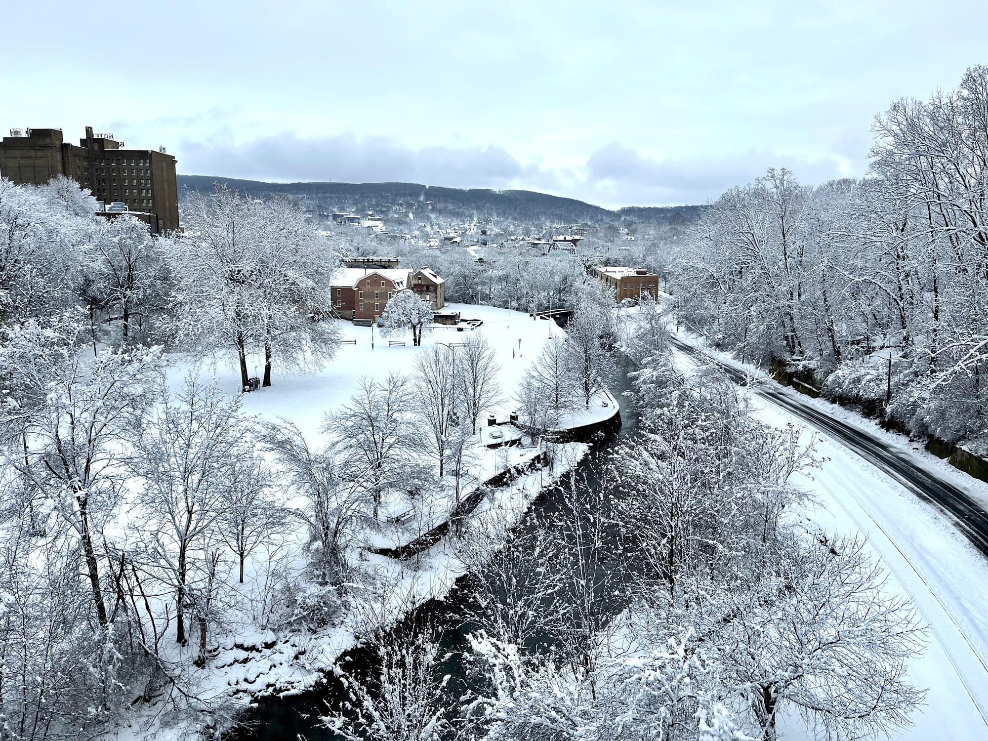
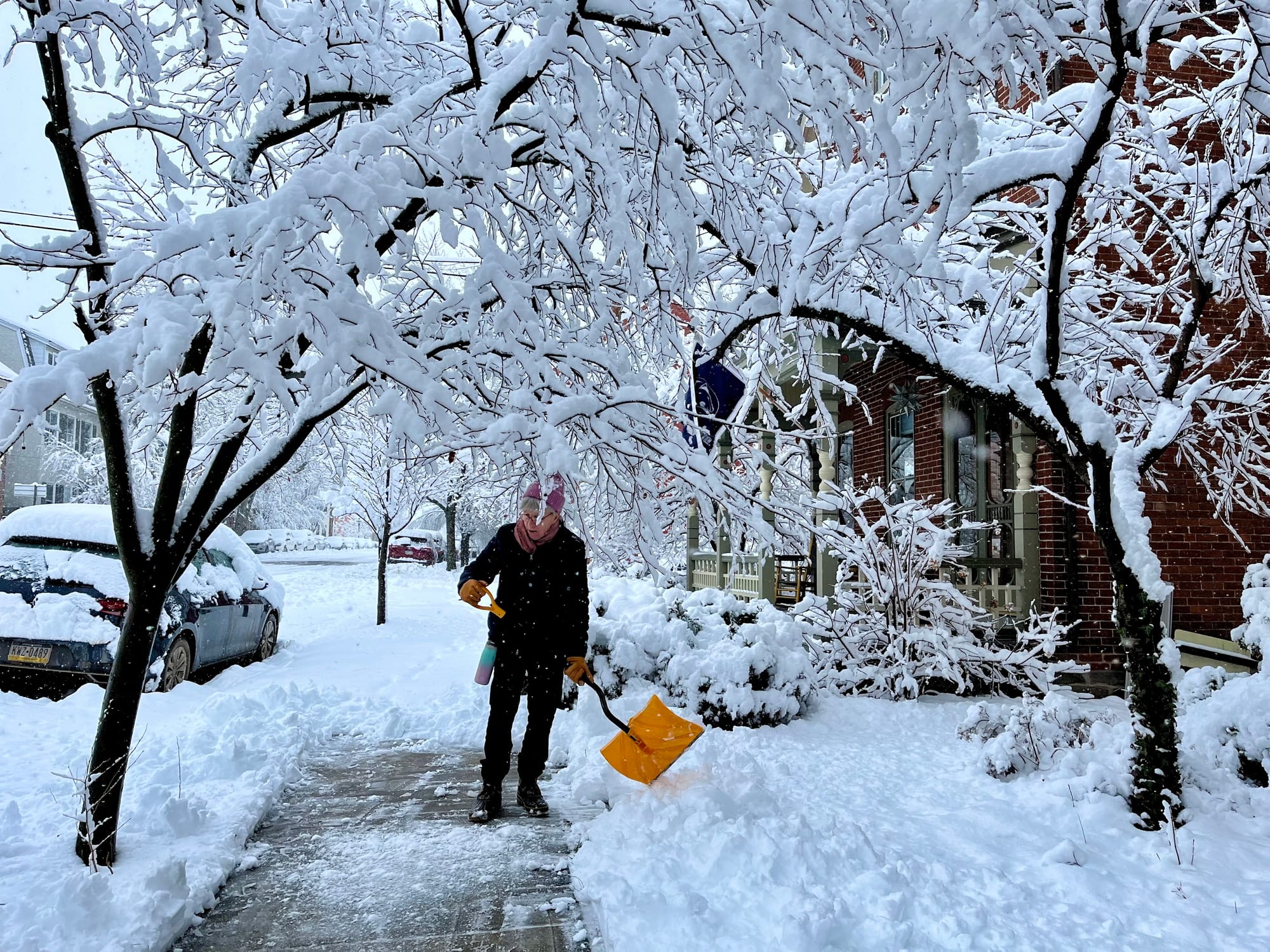
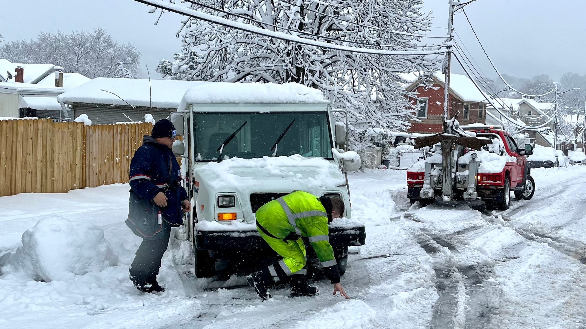
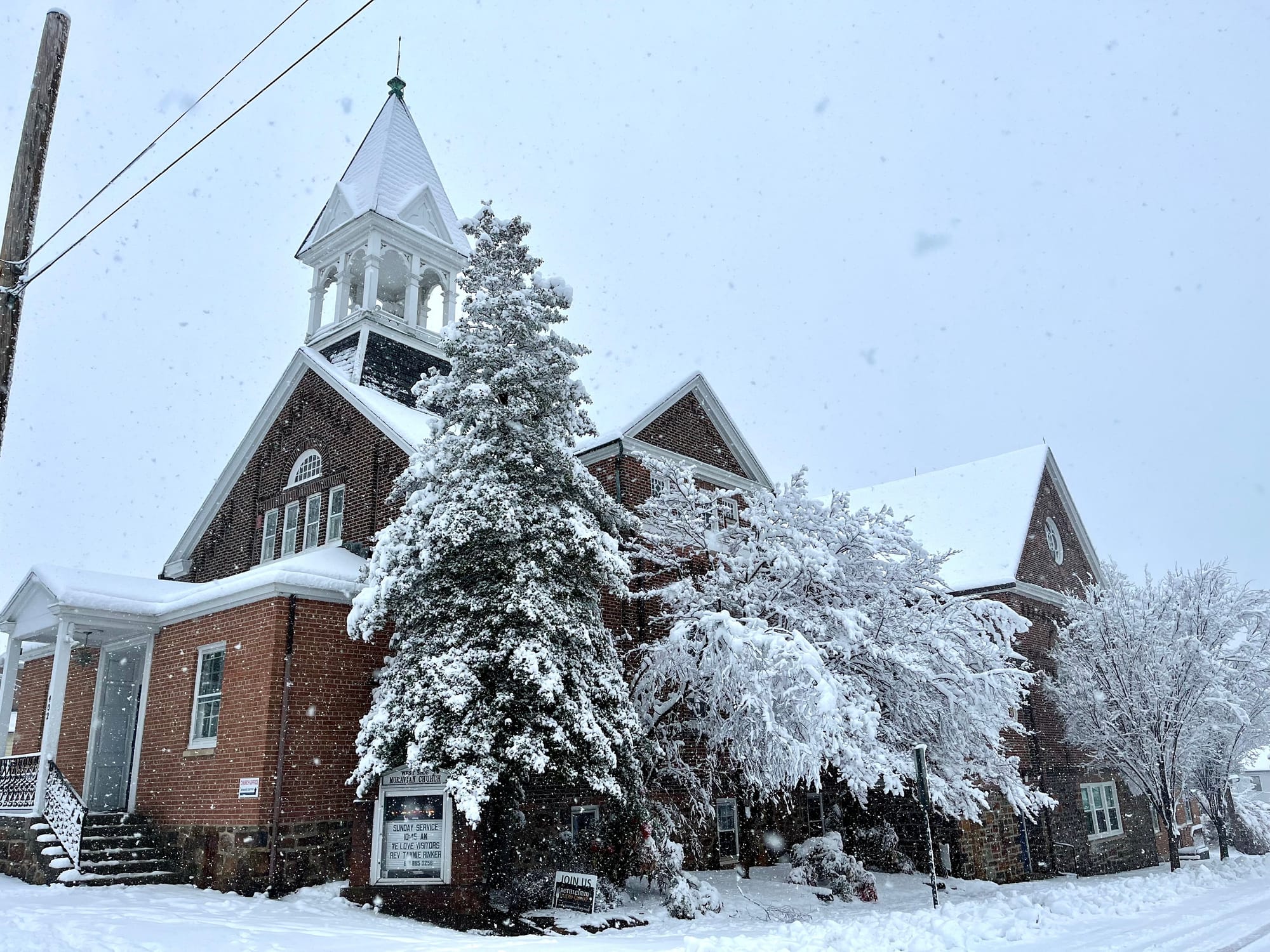
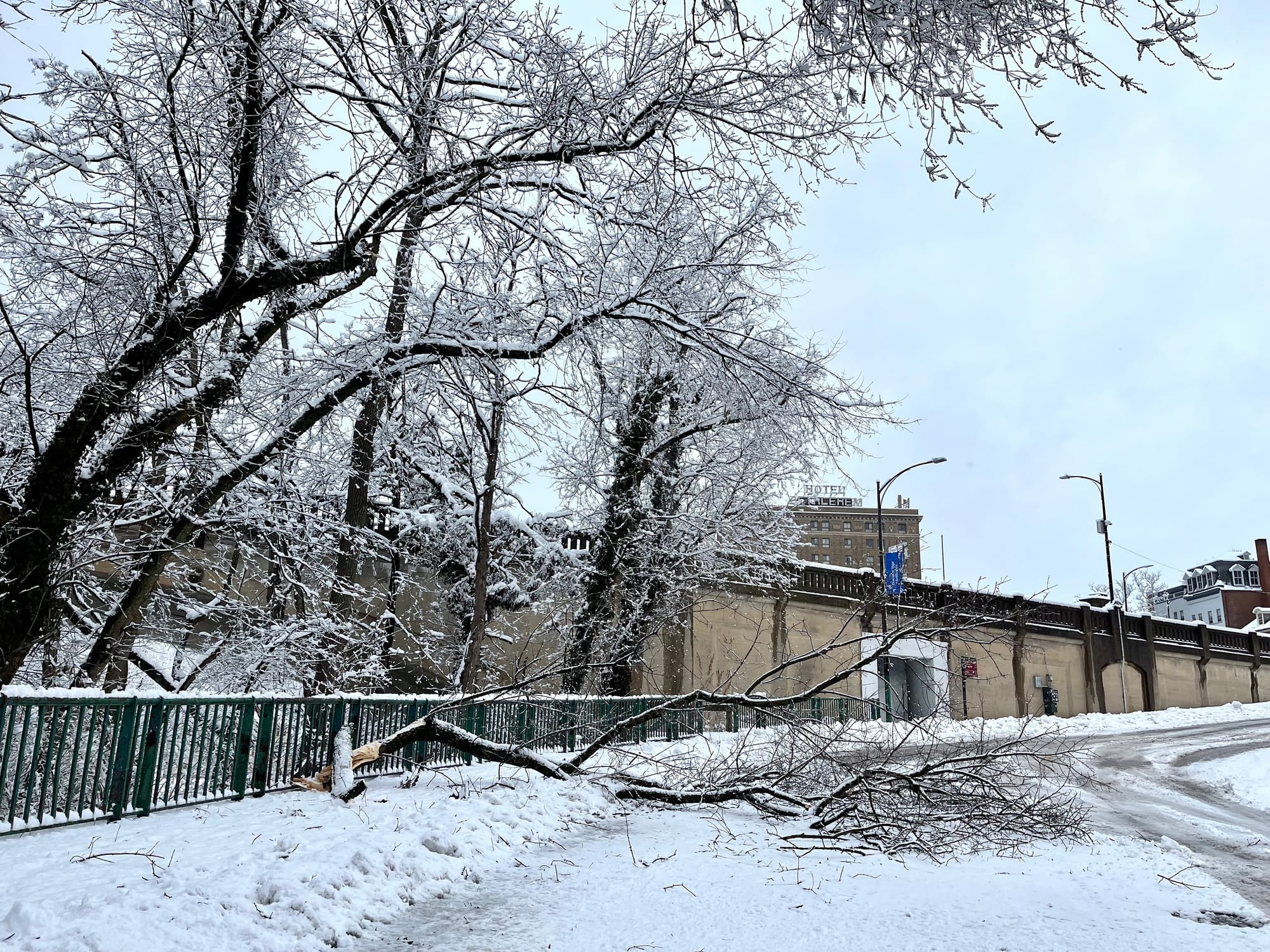
BETHLEHEM, Pa. — Less than 24 hours removed from the Lehigh Valley’s heaviest snowfall in three years, forecasters have a word of advice to offer: Don’t put the shovel away just yet.

A plow clears the roads in Palmer Township early Tuesday.
A plow clears the roads in Palmer Township early Tuesday. Jim Deegan
Heavy snow blankets the Allentown area early Tuesday morning, Feb. 13, 2024.
Heavy snow blankets the Allentown area early Tuesday morning, Feb. 13, 2024. Stephanie Sigafoos
Heavy snow blankets the Allentown area early Tuesday morning, Feb. 13, 2024.
Heavy snow blankets the Allentown area early Tuesday morning, Feb. 13, 2024. Stephanie Sigafoos
Heavy snow blankets the Allentown area early Tuesday morning, Feb. 13, 2024.
Heavy snow blankets the Allentown area early Tuesday morning, Feb. 13, 2024. Stephanie Sigafoos
Heavy snow blankets the Allentown area early Tuesday morning, Feb. 13, 2024.
Heavy snow blankets the Allentown area early Tuesday morning, Feb. 13, 2024. Stephanie Sigafoos
Heavy snow accumulates in the Lehighton area on Tuesday morning.
Heavy snow accumulates in the Lehighton area on Tuesday morning. John J. Moser
Snow blankets a backyard in Lehighton early Tuesday morning.
Snow blankets a backyard in Lehighton early Tuesday morning. John J. Moser
Snow blankets the SteelStacks campus in Bethlehem on Tuesday.
Snow blankets the SteelStacks campus in Bethlehem on Tuesday. Brad Klein
Snow blankets the SteelStacks campus in Bethlehem on Tuesday.
Snow blankets the SteelStacks campus in Bethlehem on Tuesday. Brad Klein
Snow falls in Bethlehem on Tuesday morning.
Snow falls in Bethlehem on Tuesday morning. Jen Rehill
Snow falls in Macungie on Tuesday.
Snow falls in Macungie on Tuesday. Marielle Miller
Snow blankets the Colonial Industrial Quarter in Bethlehem on Tuesday.
Snow blankets the Colonial Industrial Quarter in Bethlehem on Tuesday. Jen Rehill
75-year-old West Bethlehem resident Jeanne Mater shovels her front walk on 2nd Ave after a winter storm moved through the are
75-year-old West Bethlehem resident Jeanne Mater shovels her front walk on 2nd Ave after a winter storm moved through the area. Jen Rehill
A mail truck stuck on 2nd Ave near Prospect Street in Bethlehem following heavy snowfall Tuesday.
A mail truck stuck on 2nd Ave near Prospect Street in Bethlehem following heavy snowfall Tuesday. Jen Rehill
West Side Moravian Church in Bethlehem is blanketed in snow on Tuesday after a winter storm moved through the area.
West Side Moravian Church in Bethlehem is blanketed in snow on Tuesday after a winter storm moved through the area. Jen Rehill
A branch falls under the weight of heavy snow in Bethlehem on Tuesday.
A branch falls under the weight of heavy snow in Bethlehem on Tuesday. Jen Rehill

Attention has turned to an end-of-week system that could bring another round of wintry precipitation to the region.

“We had a winter storm signal identified for the Feb. 17th time frame,” said EPAWA meteorologist Bobby Martrich in his latest video forecast.
“The hope was that we’d have Greenland blocking [cold air] building in at this time, and it’s just starting to build in. We thought it was going to be established by this point. It’s not established yet."

Because of that, the next system heading our way won’t slow down and amplify, Martrich said.

But it’s one of two chances for snow we’ll have in the coming days.

Weak clipper system Thursday night

Untitled
Forecasters say a clipper-like low-pressure system could bring a coating of snow to the region on Thursday night.

The system will move out of the Great Lakes region and to our north, pulling a cold front across the Mid-Atlantic.

“This will bring a chance of precipitation to the area, primarily for our Pennsylvania and New Jersey zones,” the National Weather Service said in its latest forecast discussion.

“Depending on exact temperatures and locations, there will be a chance of rain or snow for many areas, including a chance for a dusting of snow in eastern Pennsylvania.”

Any impacts are expected to be “limited in nature,” with the system darting through and exiting by daybreak Friday.

Second system Friday into Saturday

A second shot of snow is possible Friday into Saturday, but Martrich said there shouldn’t be too much to worry about.

“Because the blocking isn’t established yet, I think this is going to be a little bit more progressive, which means it’s going to be moving through pretty fast,” he said.

The latest guidance tracks the storm just south of our area, leaving the Lehigh Valley on the cold side of the system.

Martrich said that could mean measurable accumulation for areas that get snow, but the system is “not something that’s really amped up.”

“It’s something that we just have to figure out between now and the end of the week,” he said.

The latest guidance has probabilities generally around 40-60% of 1 inch of snow or greater for all but the most southeastern portions of the area, according to the weather service.

However, probabilities of advisory-level accumulations (2-3 inches) remain around 40% or less.

Share
Sponsorship