

UPDATE: Allentown tornado tore 0.3 mile path with 100 mph winds
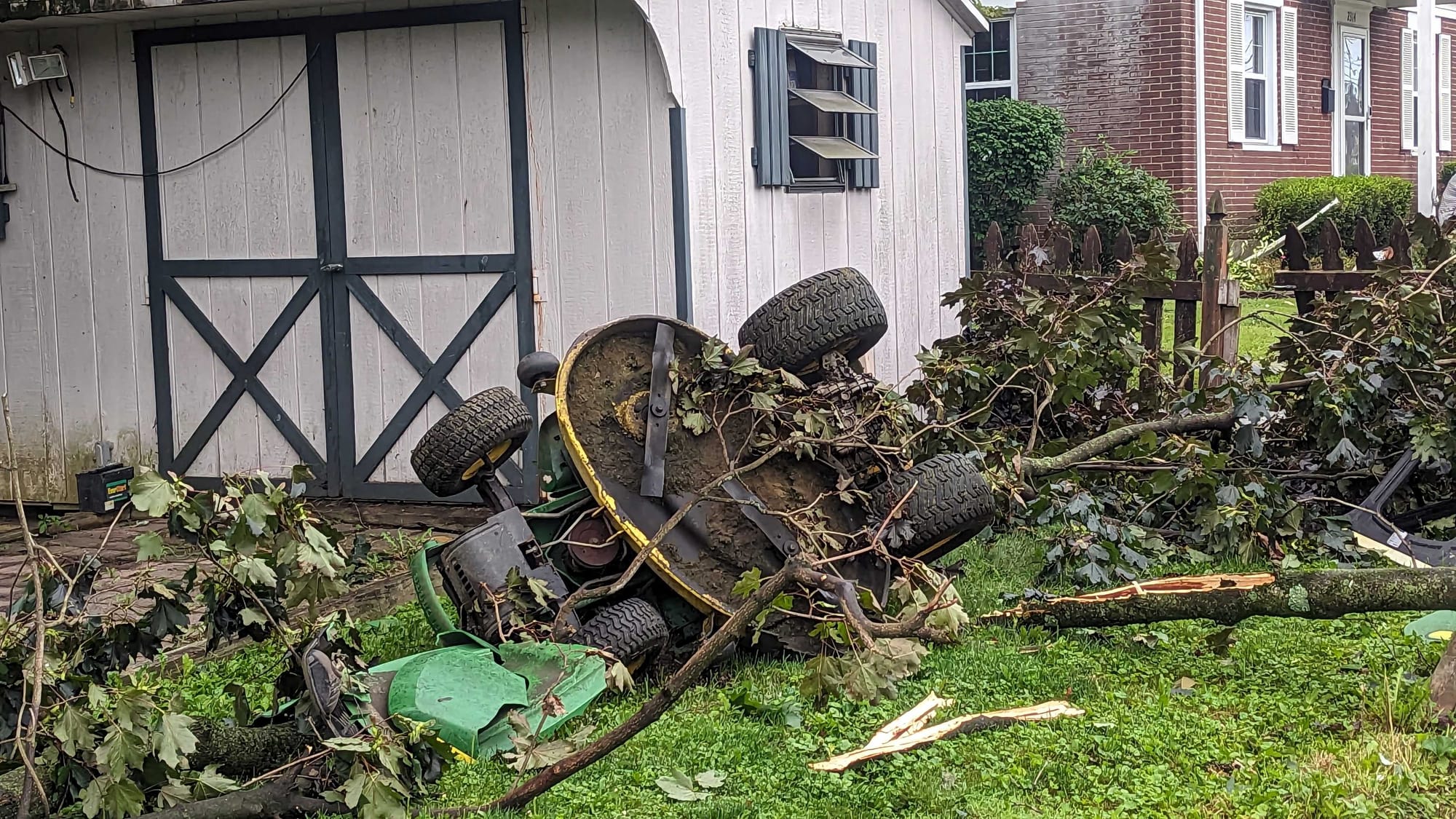
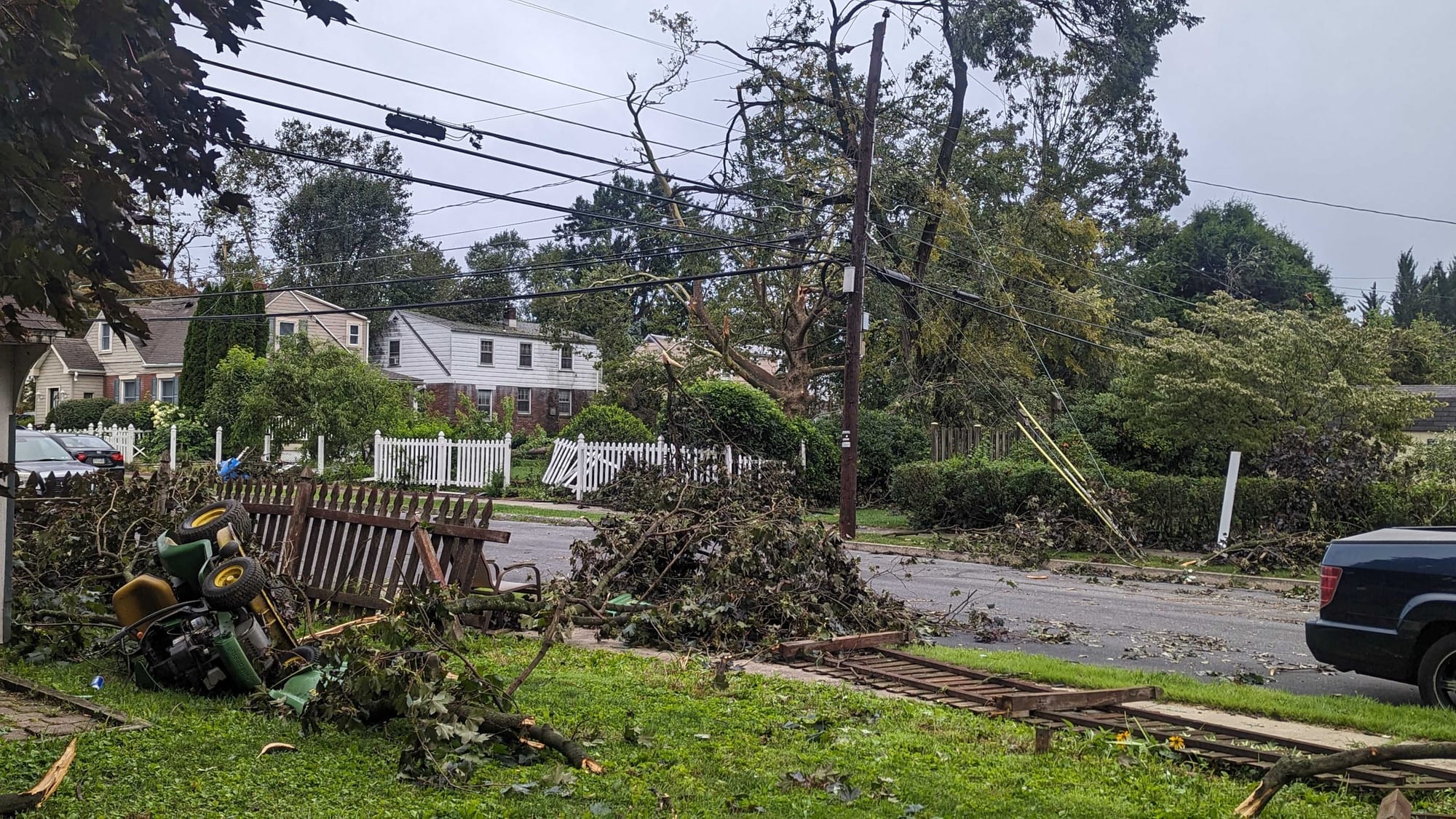
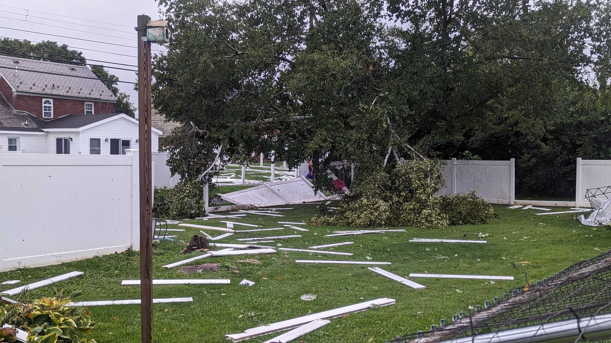
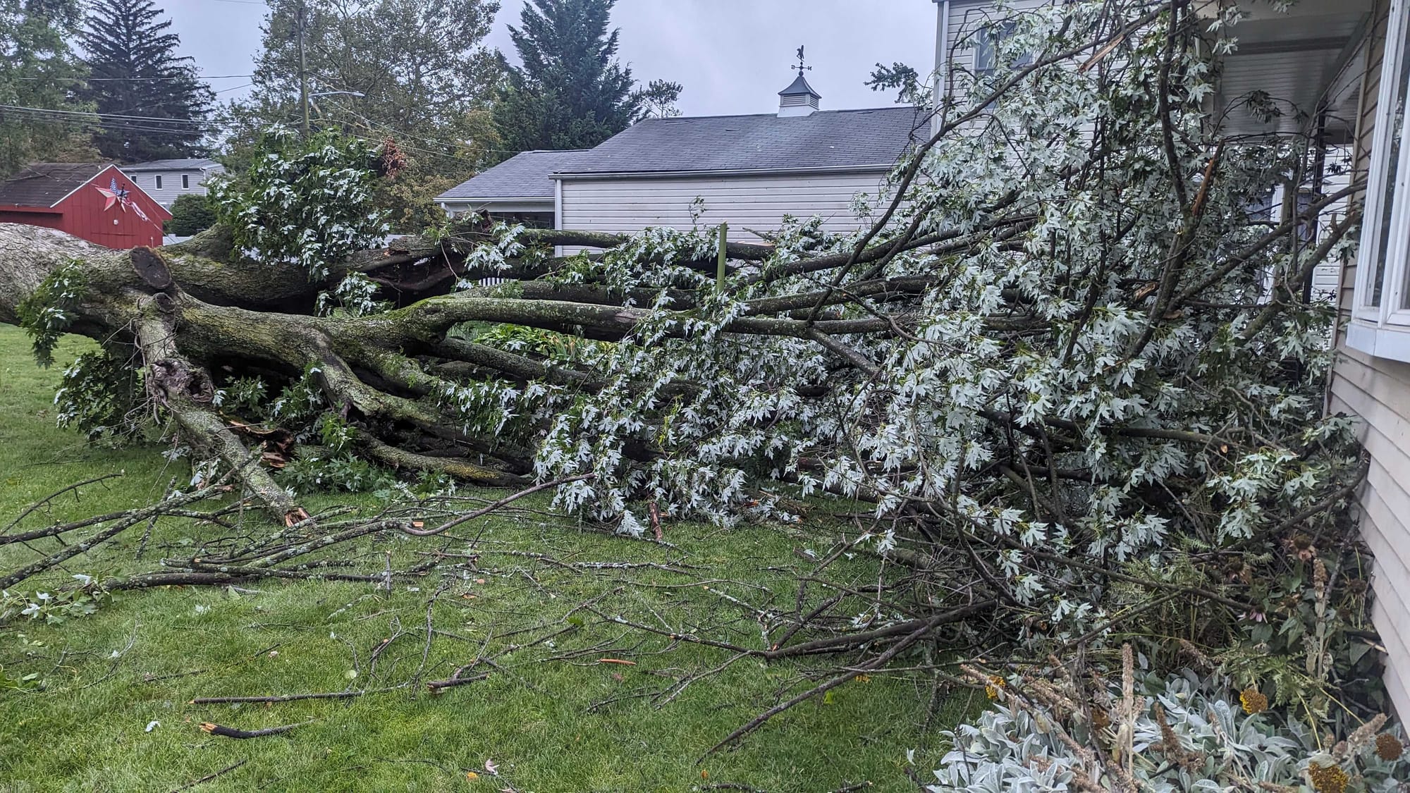
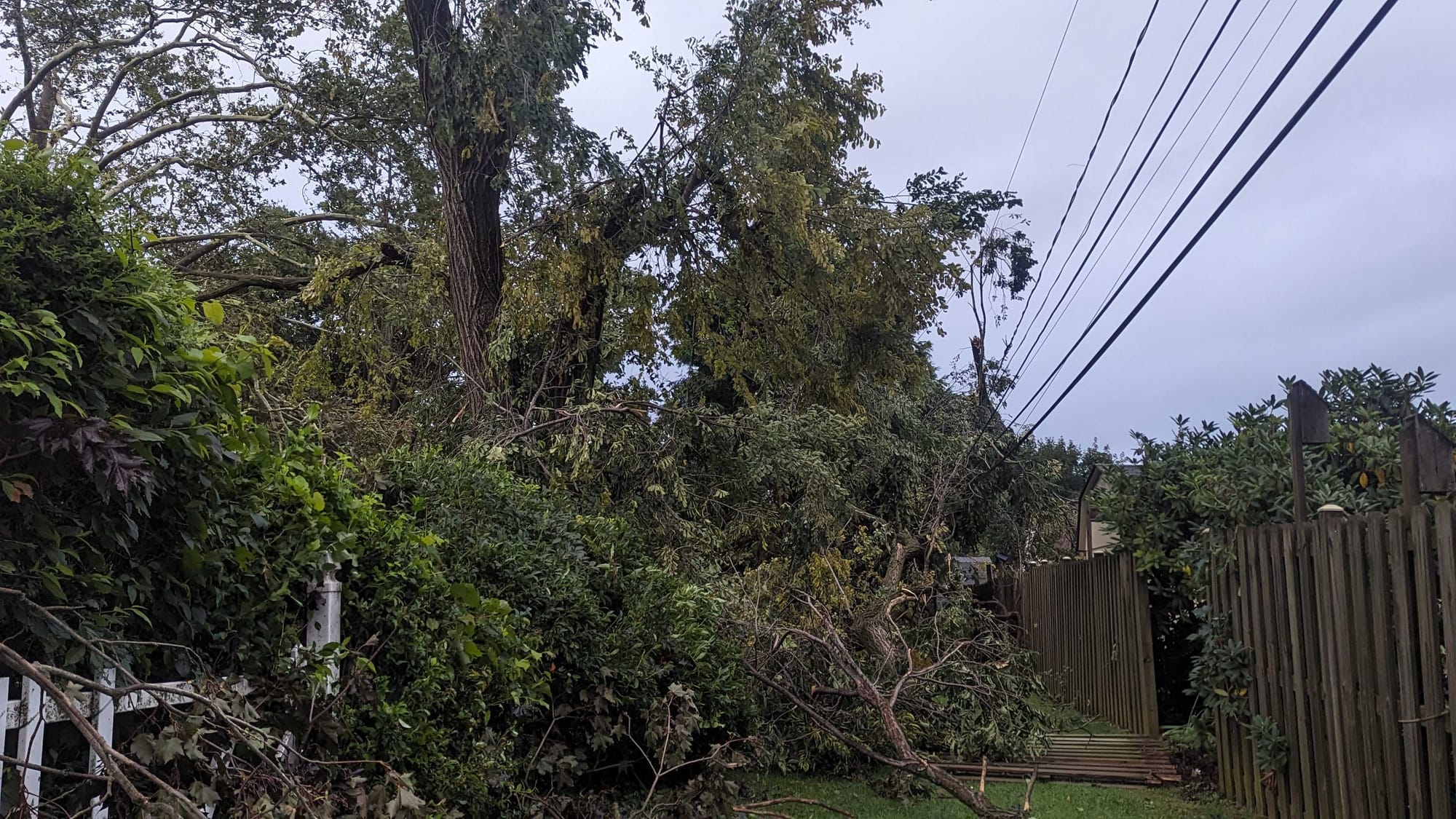
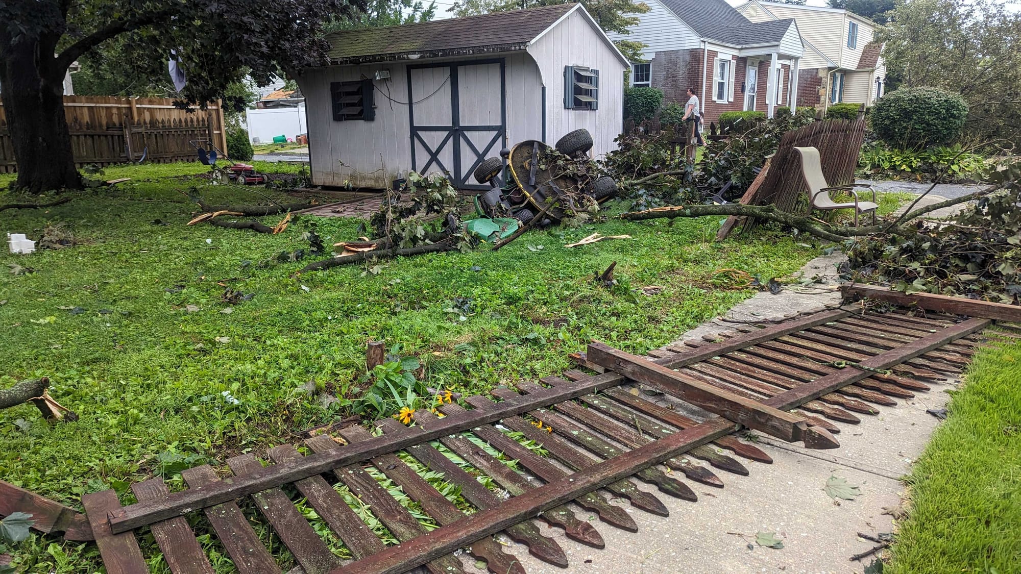
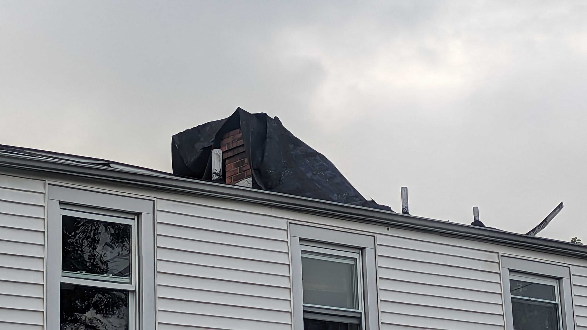
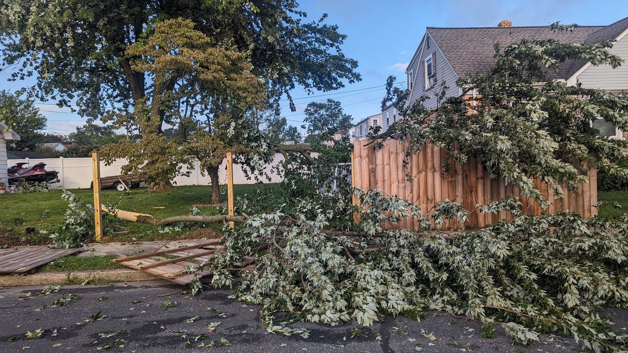
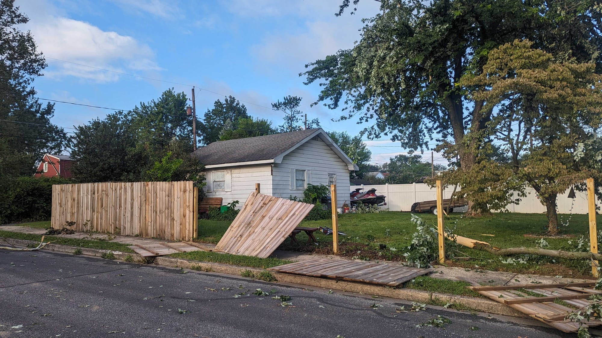
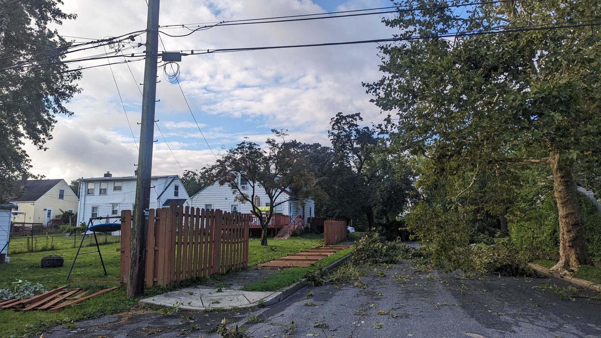
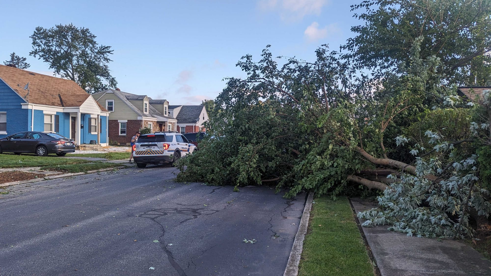
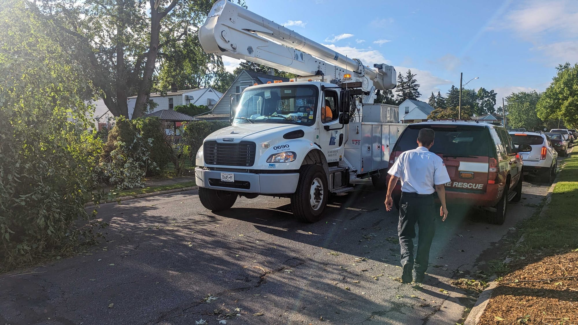

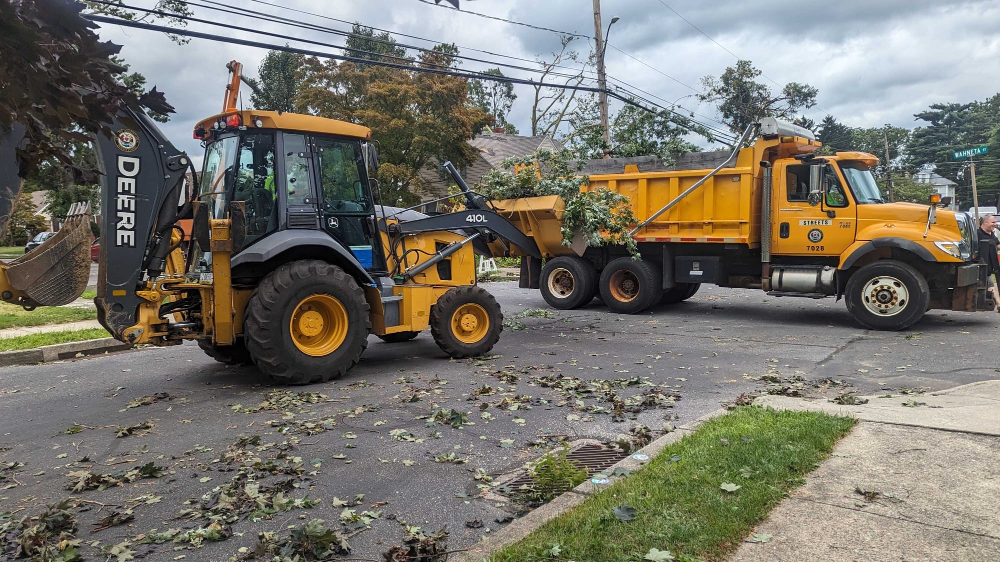
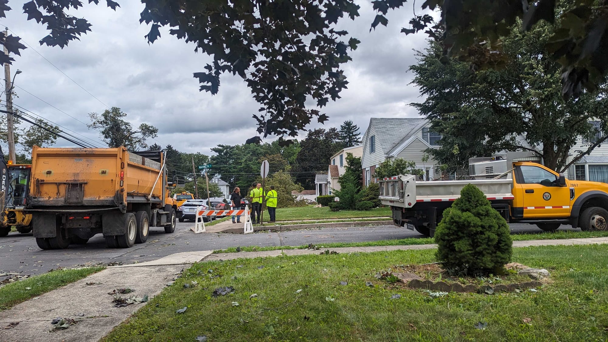
ALLENTOWN, Pa. — A National Weather Service survey team confirmed a tornado touched down in Allentown’s Midway Manor neighborhood Monday night on the east side.
But as cleanup got underway Tuesday, many residents asked why the twister went without warning.
- The National Weather Service confirmed a tornado hit Allentown's Midway Manor neighborhood on Monday
- There was a tornado watch in effect, but a tornado warning was not issued
- The tornado was embedded in a QLCS and was short-lived, a local meteorologist said
The answer can be found in the type of convective system that blew through the region, EPAWA meteorologist Bobby Martrich said.
“In all fairness to the NWS, any tornado embedded in a QLCS is going to be very short-lived and literally may show up on one [radar] scan and not the next,” Martrich said.
He noted those types of tornadoes only tend to cover a few miles or much less.
What is a QLCS?
A QLCS is a weather acronym that stands for Quasi-Linear Convective System — a complex of thunderstorms that commonly develop and pose the threat of damaging winds and isolated tornadoes.
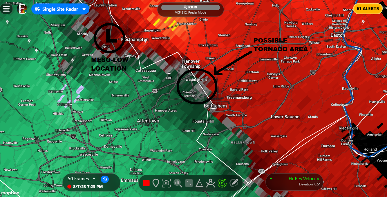
In this case, the tornado was embedded in a larger mesocyclone, or the rotating part of the storm.
Martrich noted there was a tornado watch in effect, “but I’m not sure they would have had enough time to place a tornado warning on it for it to be legitimate for those downstream when downstream wasn’t hit and it had already lifted.
“By the time it showed on the scan, it was already too late, and there’s nothing they could have done."
How does a mesocyclone form?
There was a tornado lurking in the rain on Monday, but it all started with the first ingredient needed for tornado genesis — wind shear.
According to the Skybrary, mesocyclones are believed to form when wind shear “sets parts of the lower atmosphere spinning in invisible tube-like rolls.
"The convective updraft of a thunderstorm is then thought to draw up this spinning air, tilting the rolls' orientation upward [from parallel to the ground to perpendicular] and causing the entire updraft to rotate as a vertical column.”
Into the bear’s cage
According to experts, a tornado can form anywhere within a mesocyclone. But then there’s another danger — the “bear’s cage,” or the moment that heavy precipitation wraps around a mesocyclone.
The term “bear’s cage” is popular with storm chasers, because once you enter the bear's cage, you can be blindsided by a tornado at any moment.
In Monday’s storm, rain appeared to have not fully wrapped around the cage and the tornado was visible to residents of Midway Manor as it dropped into the neighborhood.
What survey teams were looking for
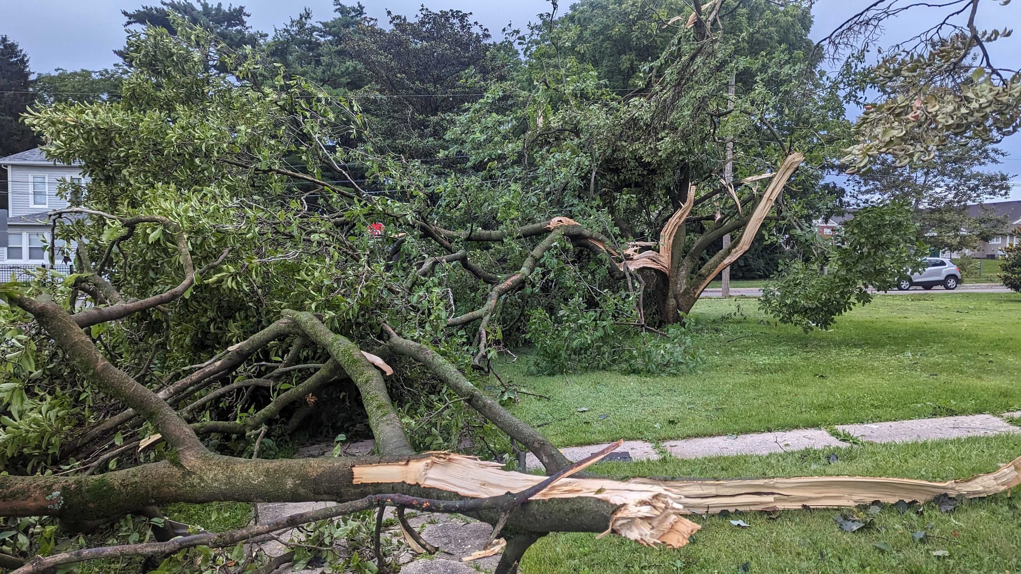
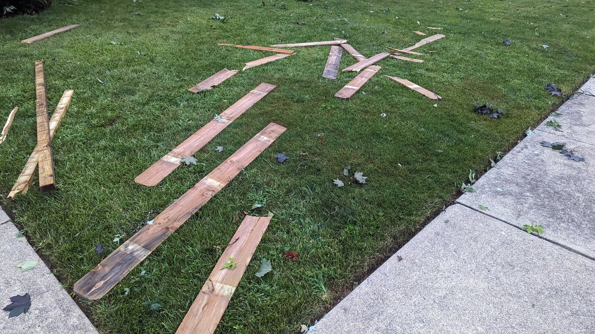
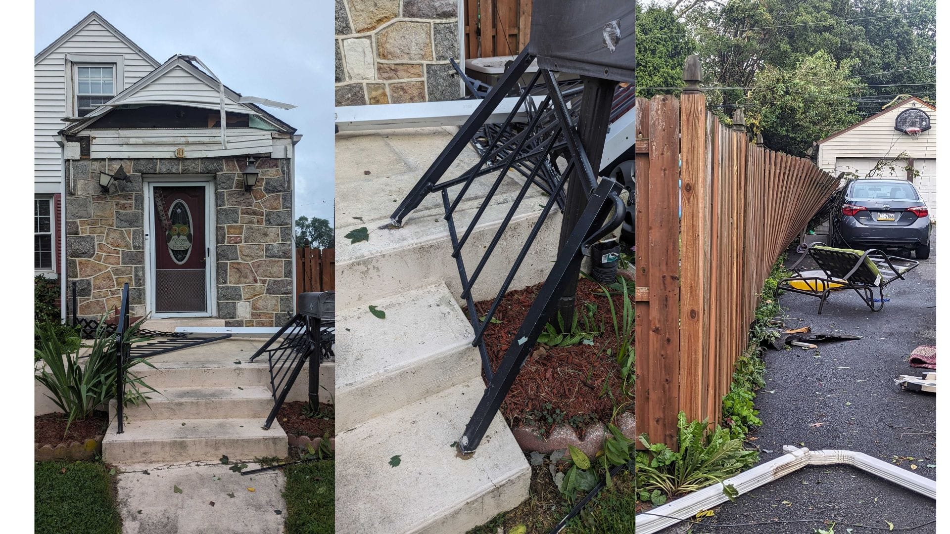
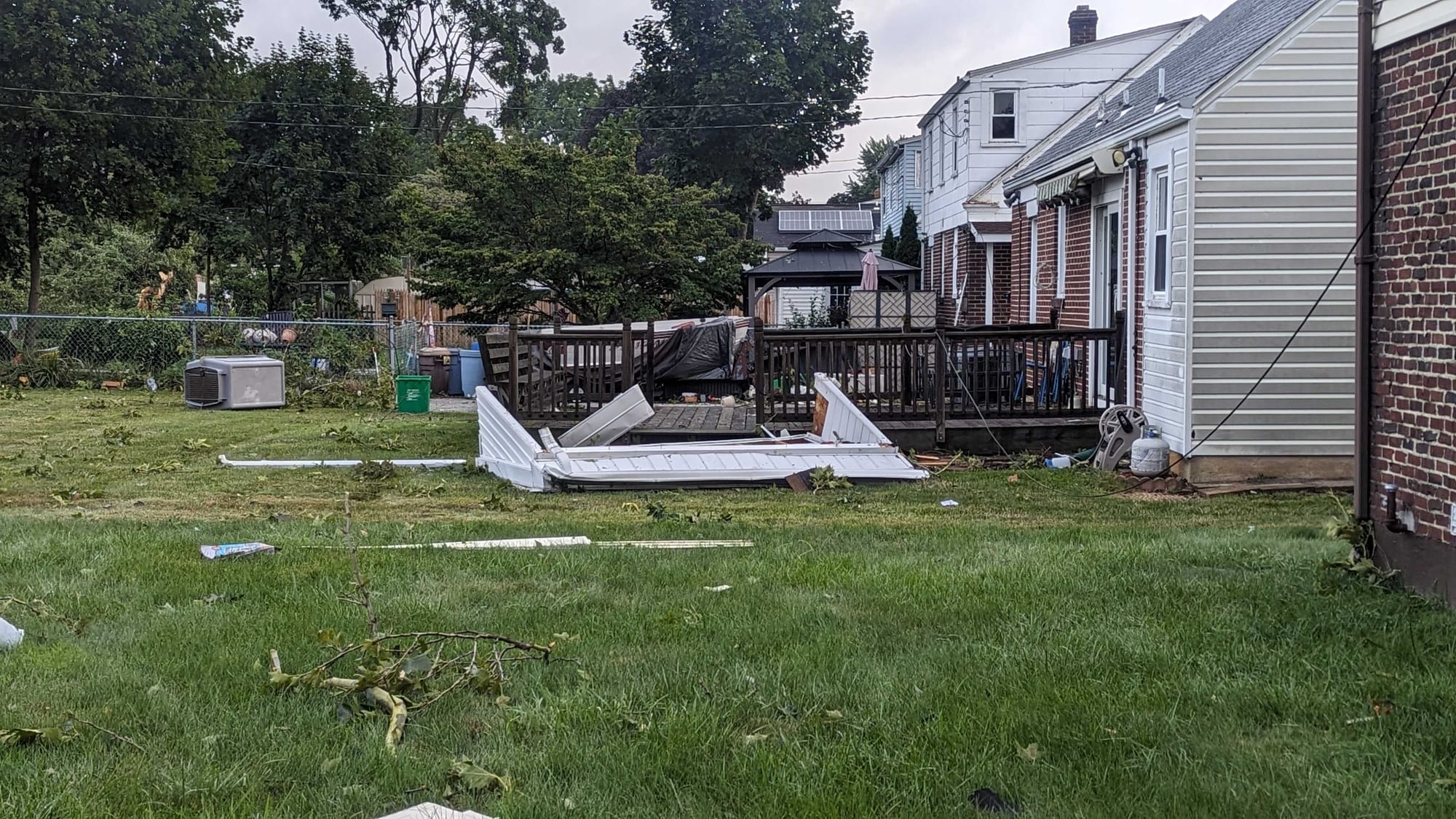
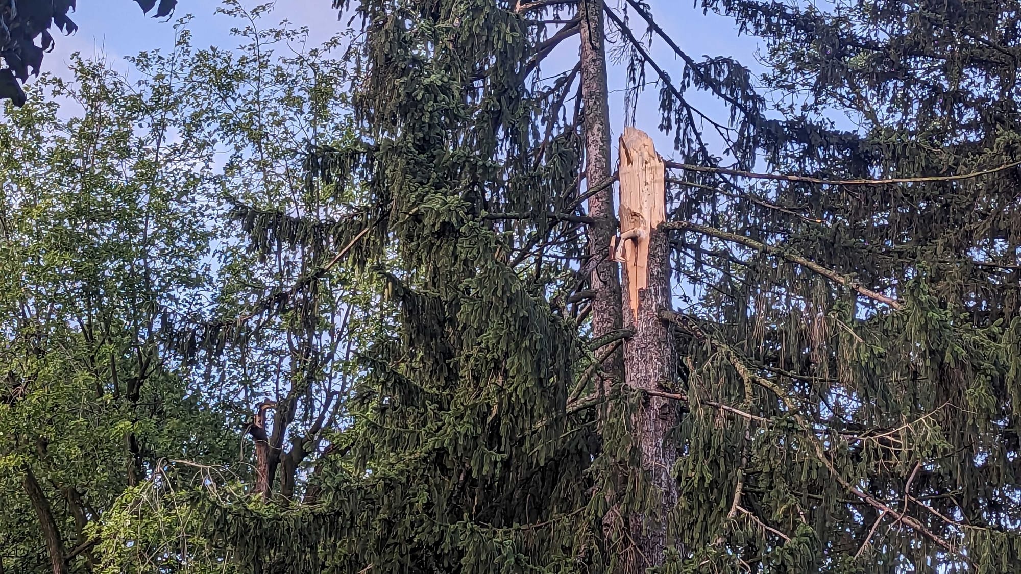
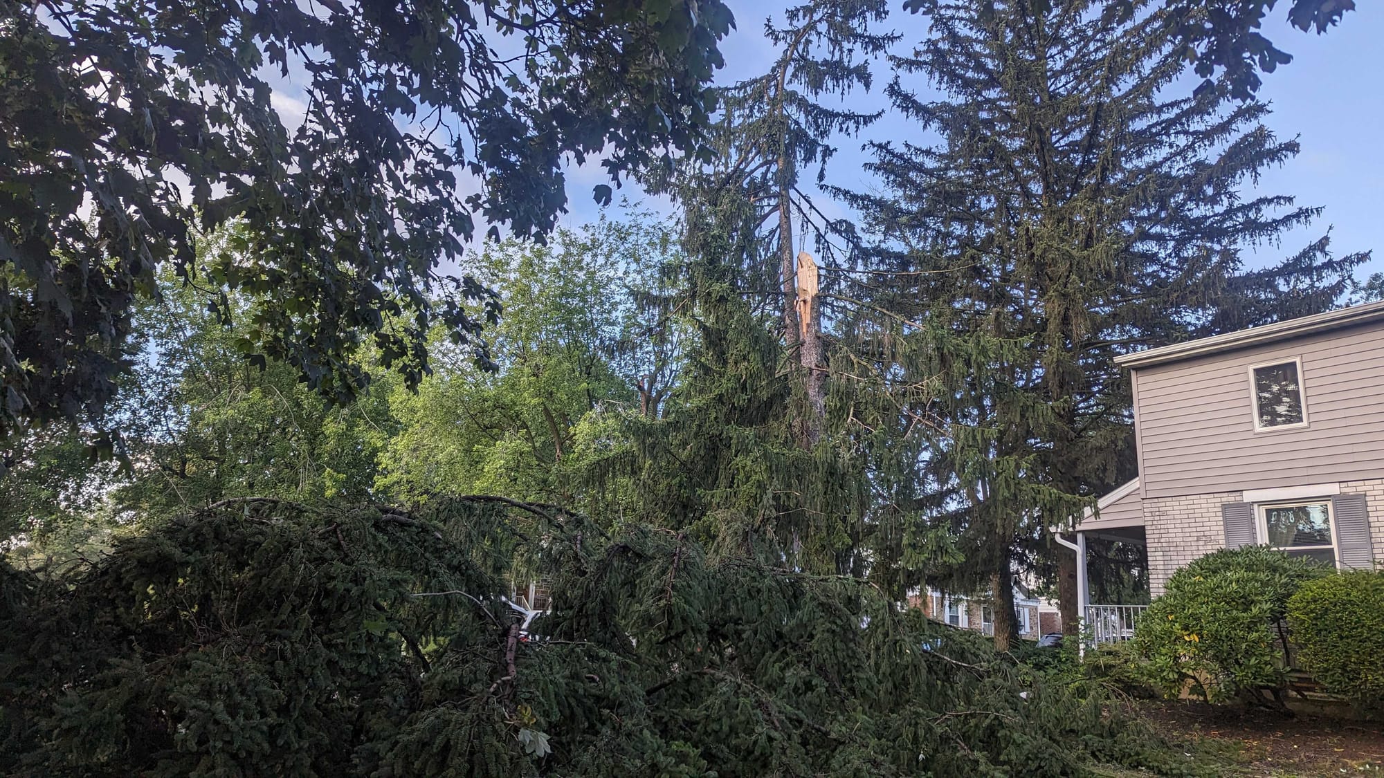
The weather service sent survey teams to the area Tuesday because QLCS events are more commonly associated with widespread wind damage, with wind speeds that can reach 60 to 70 mph as the front of the storm “bows out.”
Straight-line wind damage is common during such events, and survey teams confirmed damage in other parts of the Mid-Atlantic region (including parts of Delaware County and New Castle County, Deleware) was due to straight-line winds.
Martrich said rotation of the storm that hit Allentown looked weak, and a tornado that size will only be “visible” by radar in the lowest 0-1 km.
“The radar beam is higher than that for this area,” Martrich said. “So it can ‘see’ a broader mesocyclone, but not as defined.”
The weather service also sent a survey team to Afton Village in Upper Saucon Township. The results of that survey had not been released as of early Wednesday morning.
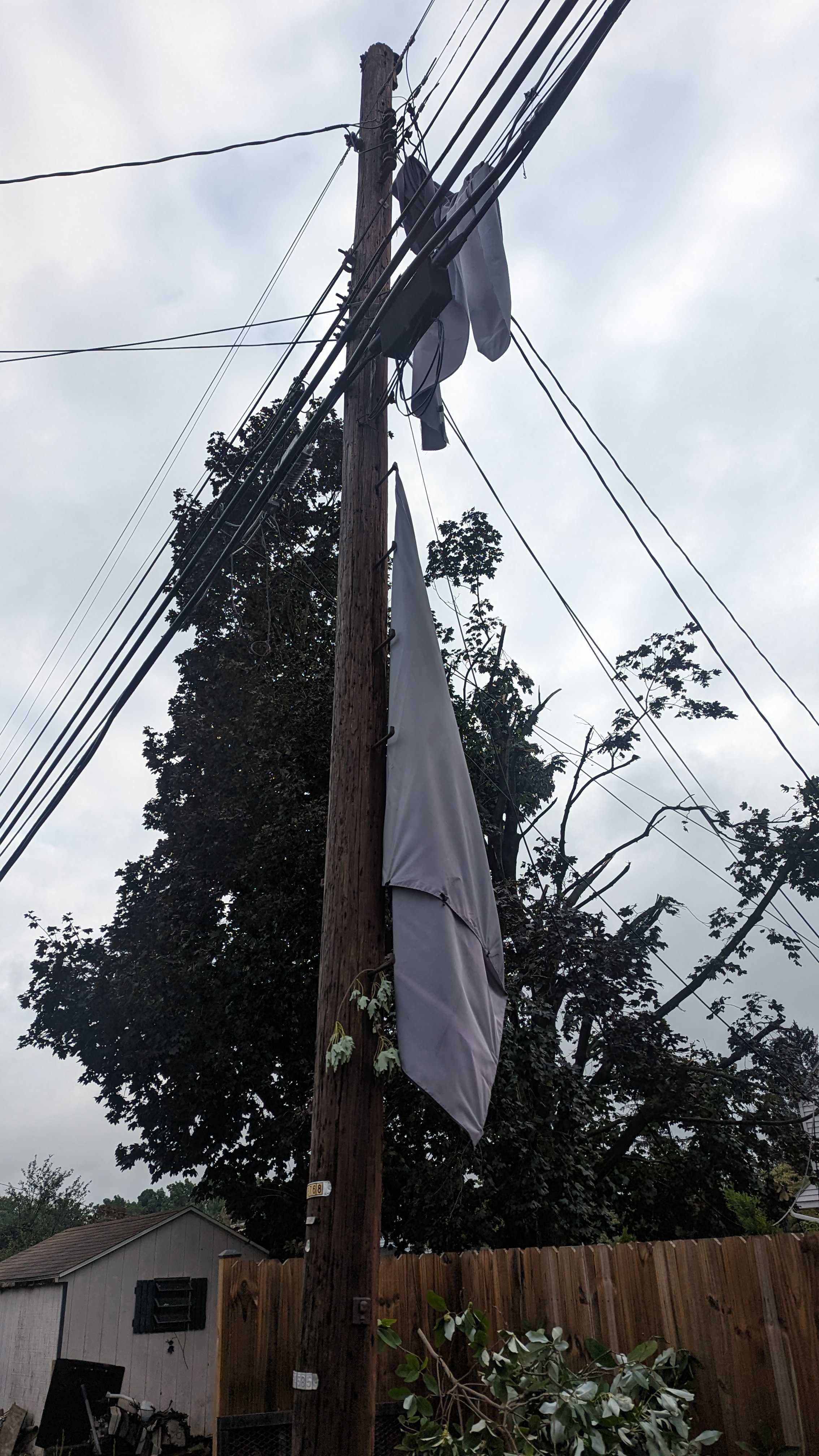
According to the PPL outage map, all of Midway Manor had power restored. But in Lehigh and Northampton counties, more than 3,000 outages remained.