

BETHLEHEM, Pa. — You probably never noticed it, but another round of Canadian wildfire smoke began to drift over the Lehigh Valley on Thursday.

It also was slated to hang around Friday, but showers and thunderstorms — a few of which could be severe — are in the forecast.
- Regional and national news outlets Thursday left out an important detail about the return of the Canadian wildfire smoke — it was nowhere near the ground
- NOAA's Global Systems Laboratory uses models to track the smoke and determines whether it will be vertically integrated or near-surface
- Vertically integrated smoke is high in the atmosphere and does not affect our air quality the same way as near-surface smoke
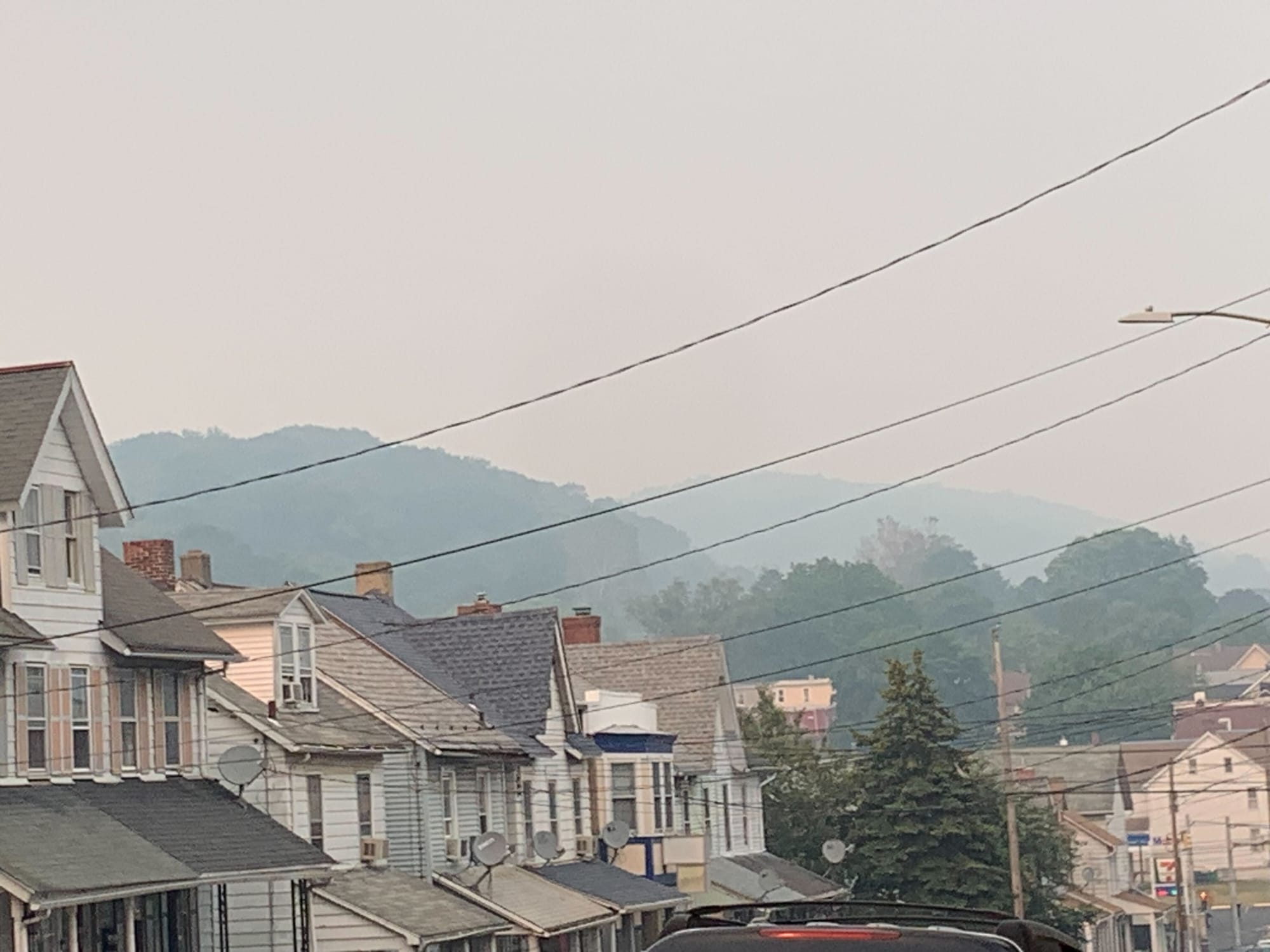
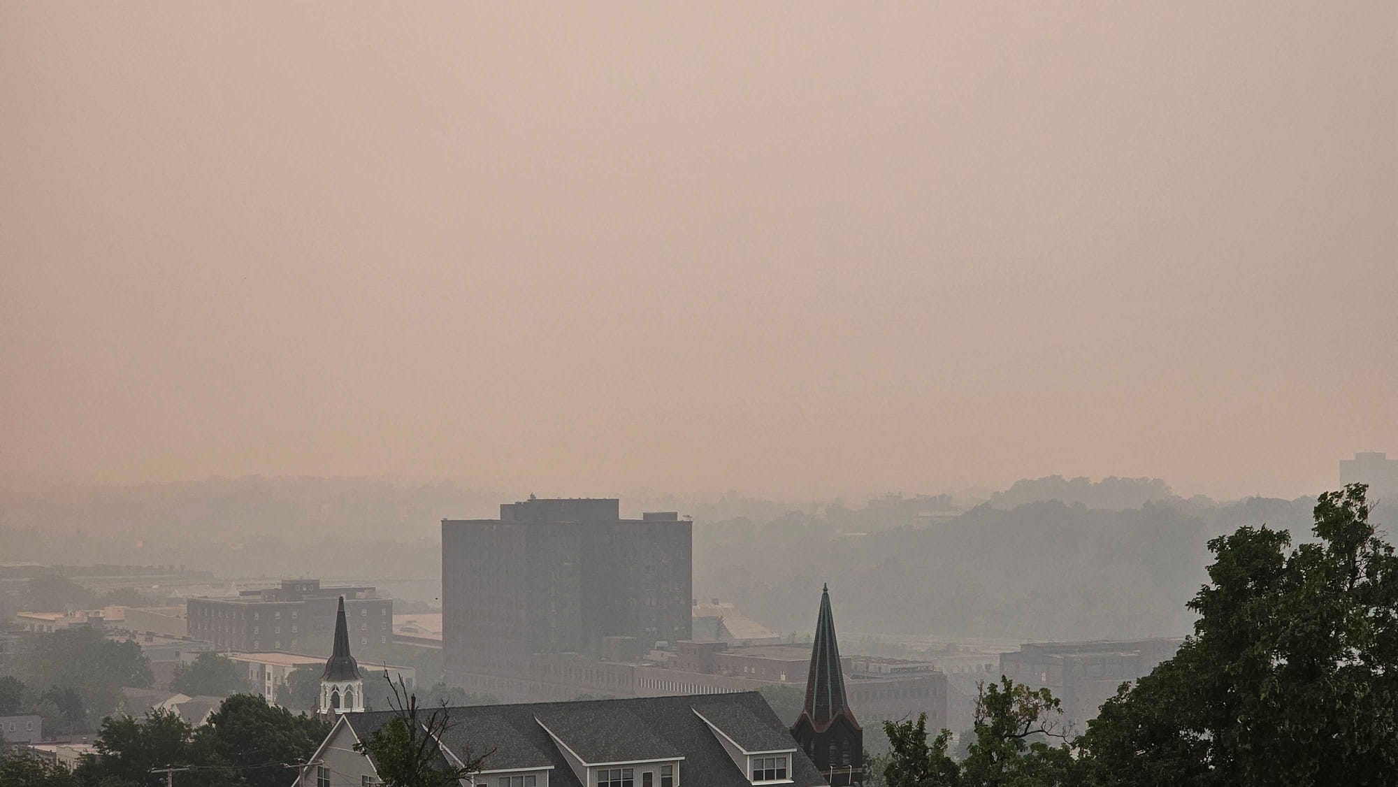
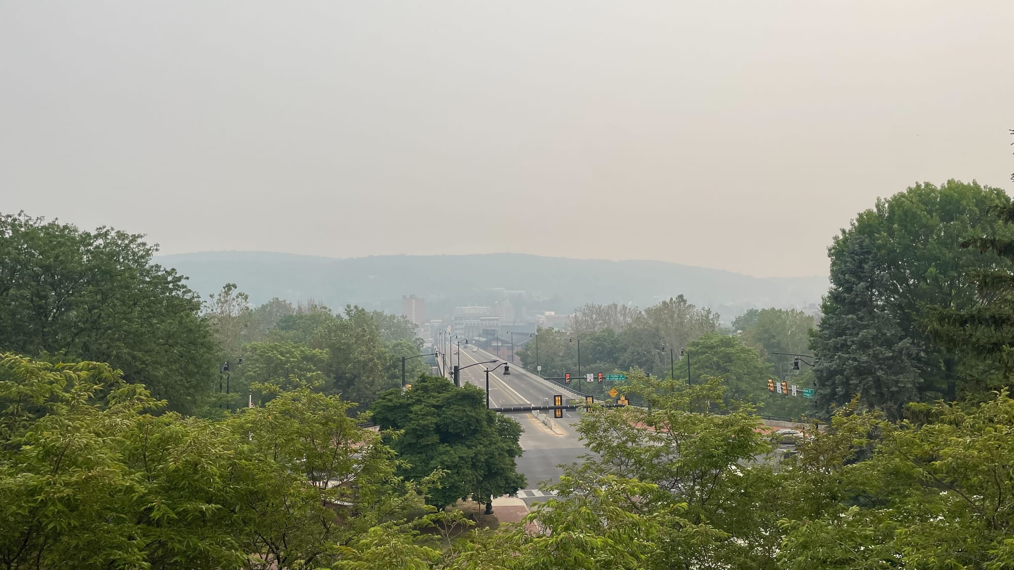
The smoke is a lot different this time, as it was caught up in the upper level winds as it carried across the midwest and Great Lakes region east into Pennsylvania and the Lehigh Valley on Thursday.
That’s because the smoke was vertically integrated smoke, meaning it didn't affect our air quality near the ground and certainly wasn't anything like June 6-7.
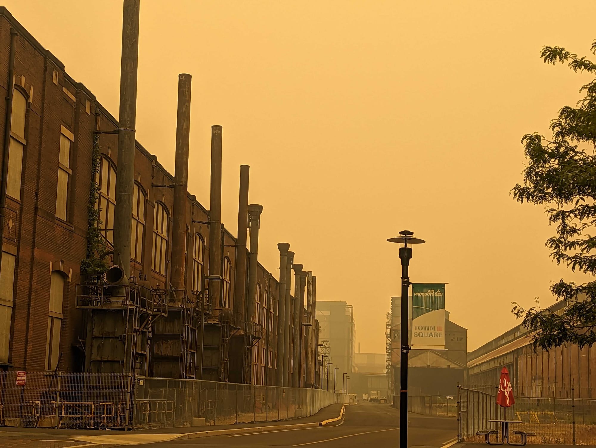
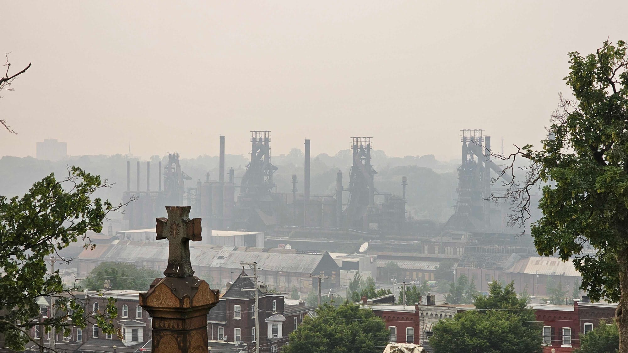
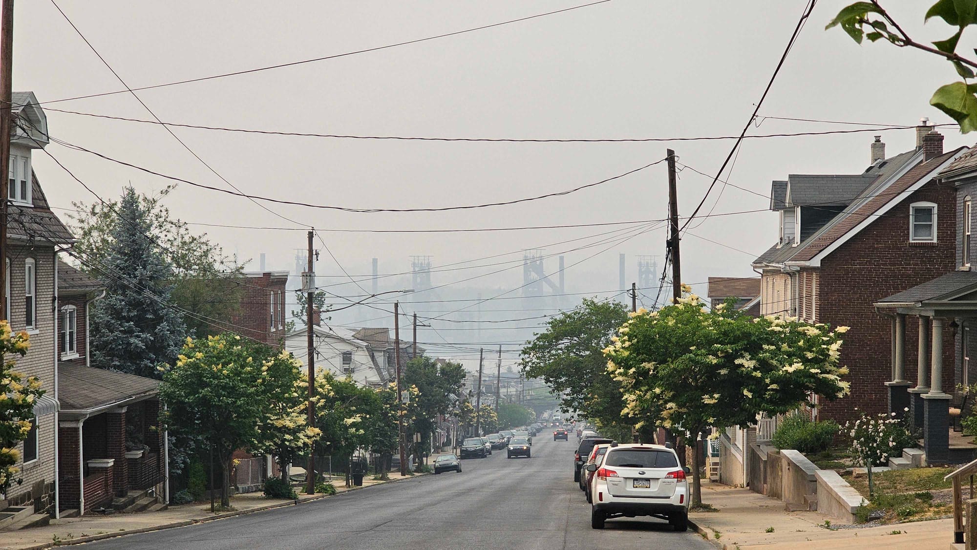
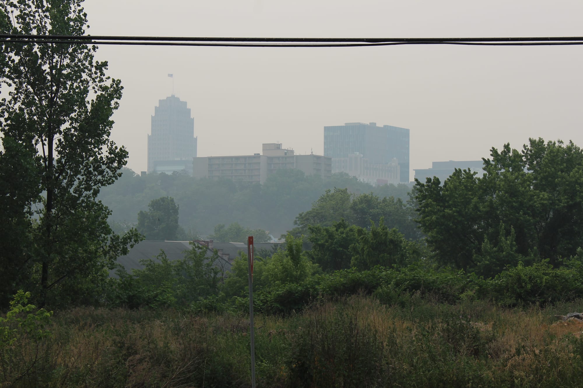
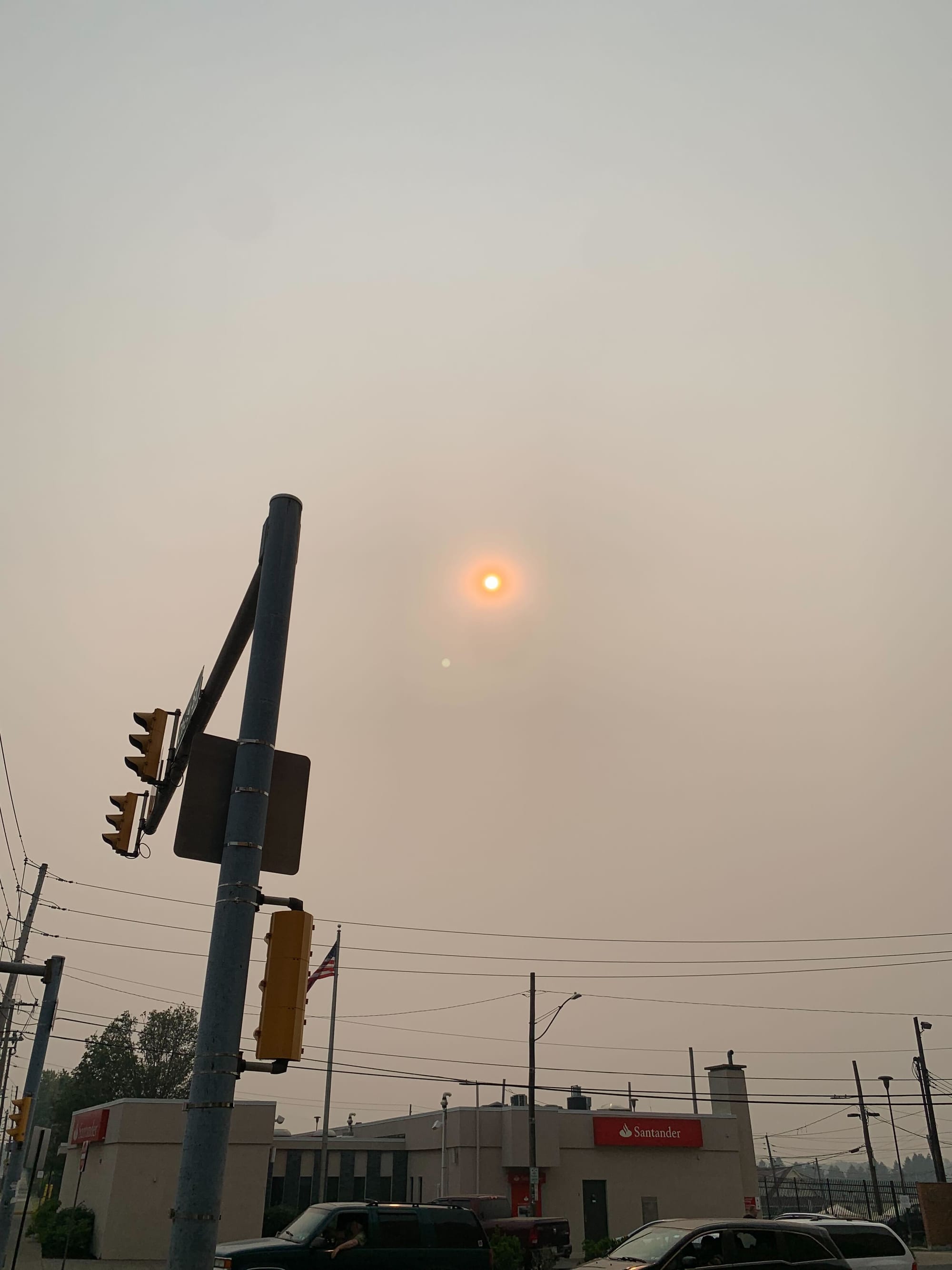
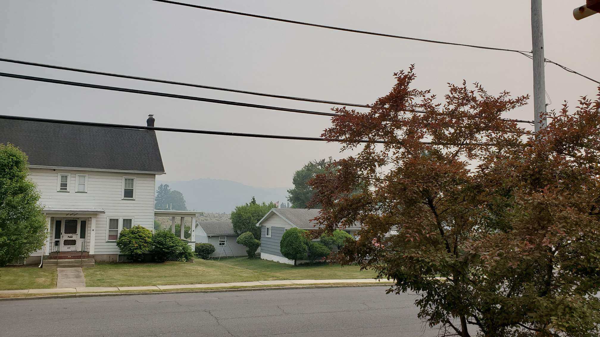
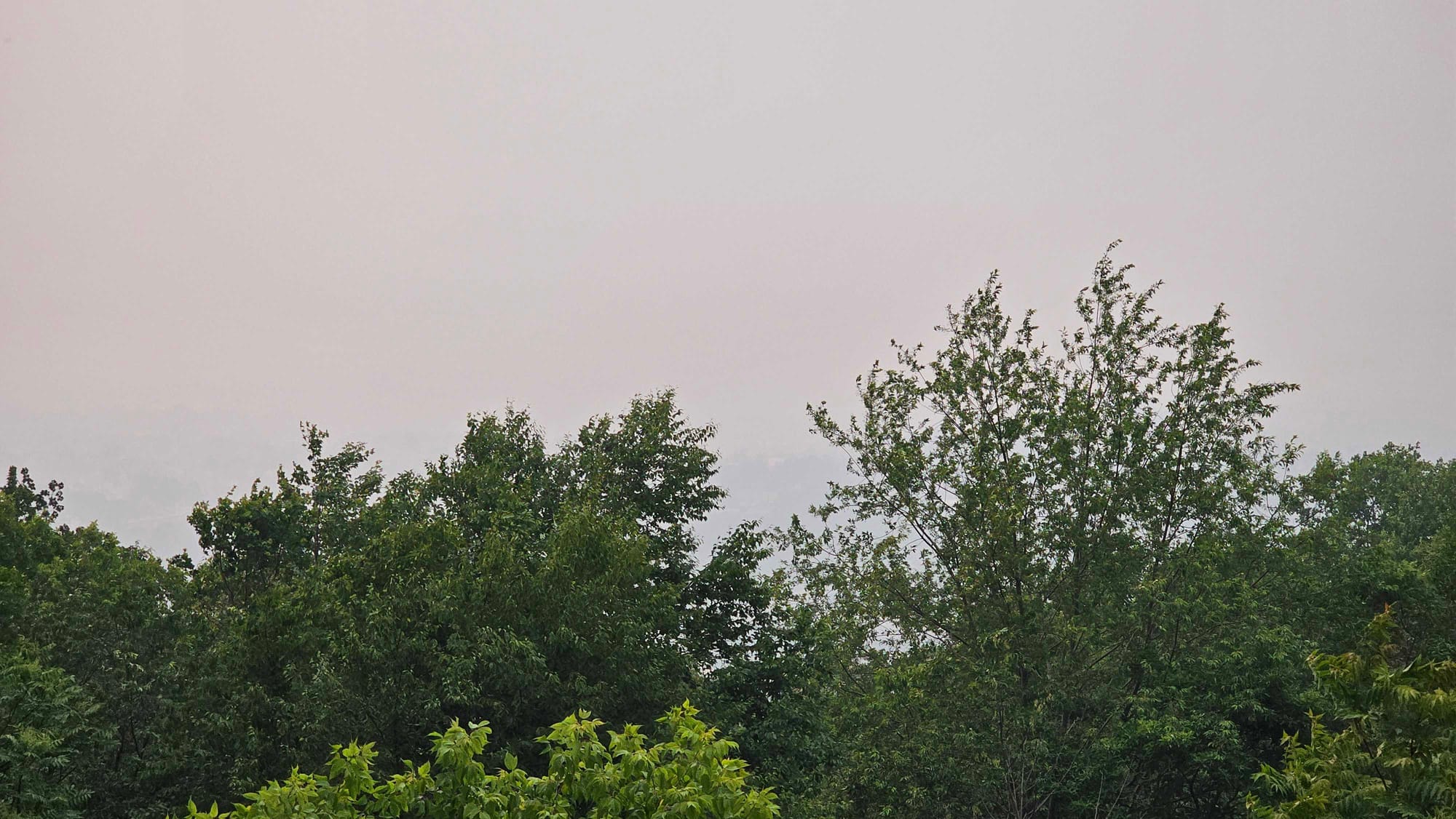
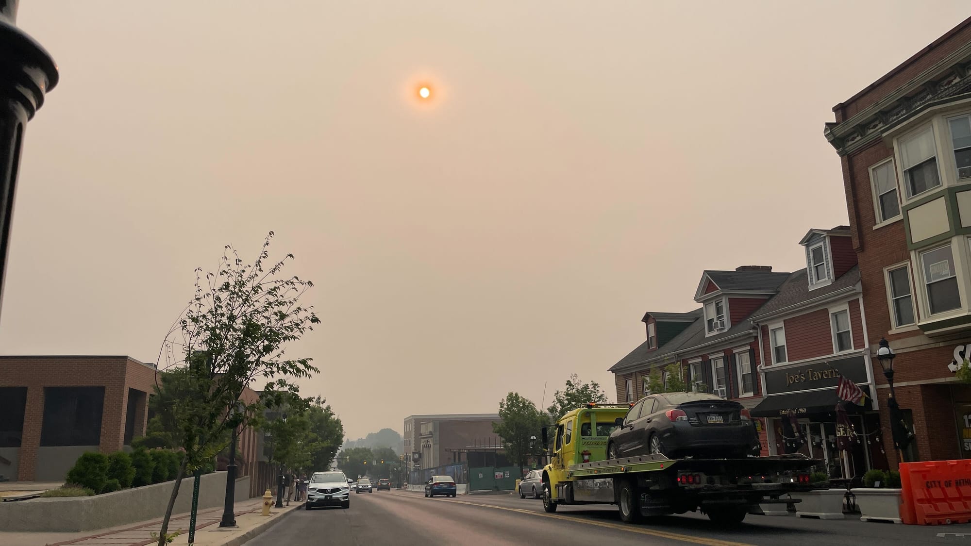
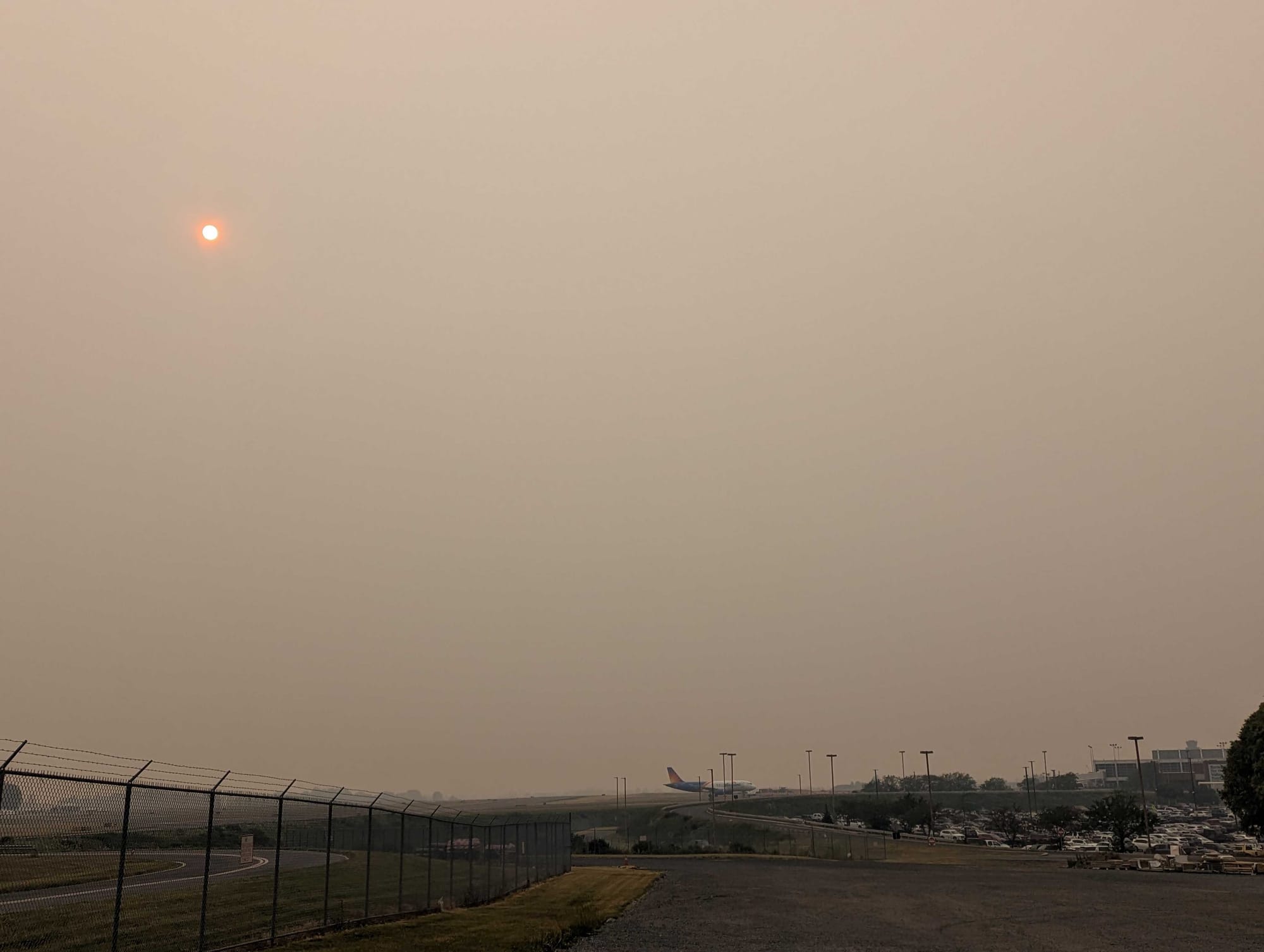
There were no glowing sunsets, no orange skies and no air quality alerts.
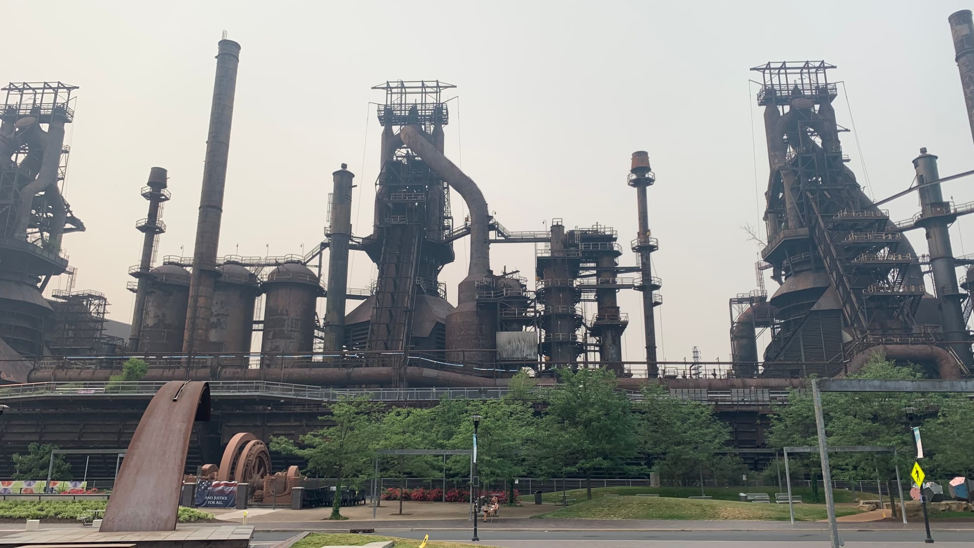
PHOTOS: Canadian wildfires send smoke into the Lehigh Valley, turning skies orange
The models and the smoke
The National Oceanic and Atmospheric Administration’s Global Systems Laboratory uses two models — the Rapid Refresh, or RAP, or the High-Resolution Rapid Refresh, or HRRR, to predict the height of smoke plumes and their subsequent spread.
It’s not the only thing the models pick up on. They use satellite data and chemistry to calculate fire size and biomass burning emissions (the burning of living and dead vegetation) and are the first models in the United States to forecast the impact of wildfire smoke.
The HRRR specifically predicts the movement of smoke in three dimensions, simulating how the weather will affect smoke movement and concentrations, and how it will affect visibility, temperature and wind.
But the most important metric is tracking fire radiative power, or a measurement of the heat released by a given fire.
The model combines that data with wind speed, rain, temperature and information from vegetation maps so scientists know what’s burning.
Those measurements all are mapped nearly 16 miles into the atmosphere and it produces a detailed forecast of the amount of smoke, the direction it’s traveling and the plume height.
Vertically integrated vs. Near-surface smoke
The two smoke forecasts on which you should keep an eye involve near-surface smoke and vertically integrated smoke.
The former refers to smoke about 26 feet from the ground. It’s the kind of smoke that blanketed the Lehigh Valley a few weeks ago, causing many people to have an irritated throat, burning eyes, worsening asthma and other symptoms.
Vertically integrated smoke is all of the smoke in the atmosphere measured in a vertical column, including the smoke high in the Earth’s atmosphere.
That means it can drift across the region and you might not know it’s there, except for noticing perhaps a slightly hazy sky or different hue to the sunrise or sunset.
Will the near-surface smoke return?
Along with regional headlines Thursday that suggested affected air quality and the return of orange skies, national news outlets predicted the near-surface smoke would return again next week.
But for now, it’s very much wait-and-see. Even the HRRR predicts the movement of smoke only over 48 hours.
Lehigh Valley-based meteorologist Bobby Martrich of EPAWA Weather Consulting said there’s a possibility, but there are a lot of variables at play.
“It’s going to depend on where the ridging sets up in Eastern Canada in relation to an upper level low that’s sitting to the southeast of it,” Martrich said Thursday.
“It’s just a possibility. Smoke forecasts don’t go beyond two days for a reason. [This far out] you’re relying on a synoptic setup to be correct — which it may or may not be.”